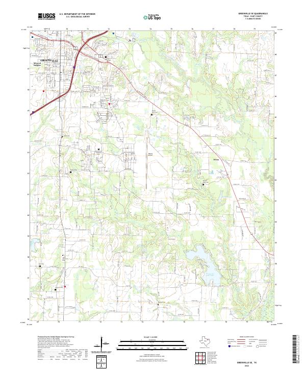
2022 Map of Greenville SE
USGS Topo · Published 2022About this map
The Cowleech Fork Sabine River and its numerous tributaries, such as Wolf Cr and McGrew Br, define the hydrological character of this landscape southeast of Greenville. Significant local history is preserved in the distribution of family and community burial grounds, including Boyle Cem and Etter Lake Cem. The presence of Majors Airport and the expansion of residential developments like Mineral Heights illustrate the modern growth of the area. Recreation and water management are evident at Greenville Club Lake and Rollins Lake, while the smaller settlement of Dixon remains a distinct point of interest. This area shows a complex transition from the concentrated urban infrastructure of southern Greenville to the expansive rural fields and creek bottoms of southern Hunt County, tied together by a network of county roads and state highways like FM 1570.
Find a feature on this map
172 named features on this map. Tap any name to fly to it.
Don’t see what you’re looking for? This feature index may not catch every label — zoom into the map to look around manually.
Map Details
Editions of this 2022 Greenville SE Map
This is the sole edition of this map. No revisions or reprints were ever made.
Other maps of this area

1953 · Texarkana
USGS Topo · 1:250,000

1954 · Dallas
USGS Topo · 1:250,000

1954 · Sherman
USGS Topo · 1:250,000

1956 · Texarkana
USGS Topo · 1:250,000

1956 · Tyler
USGS Topo · 1:250,000

1956 · Quinlan
USGS Topo · 1:62,500

1956 · Emory
USGS Topo · 1:62,500

1958 · Dallas
USGS Topo · 1:250,000

1958 · Sherman
USGS Topo · 1:250,000

1962 · Greenville NW
USGS Topo · 1:24,000