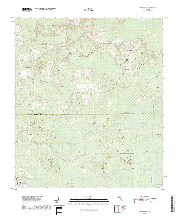
2024 Map of Greenville SE
USGS Topo · Published 2024About this map
The Econfina River winds through this expanse of North Florida, marking a landscape defined by the drainage patterns of Sampala Swamp and the vast San Pedro Bay. For genealogists and local historians, the presence of several small burial grounds suggests the scattered settlement patterns of rural Madison and Taylor counties. Notable sites include Wigginsville Church Cem, Bailey Cem, and Henderson Cem, while the Lake Bird Cem sits near the southern edge along Lake Bird Church Rd.
Find a feature on this map
43 named features on this map. Tap any name to fly to it.
Don’t see what you’re looking for? This feature index may not catch every label — zoom into the map to look around manually.
Map Details
Editions of this 2024 Greenville SE Map
This is the sole edition of this map. No revisions or reprints were ever made.
Other maps of this area

1952 · Secotan
USGS Topo · 1:24,000

1954 · Boyd
USGS Topo · 1:24,000

1954 · Secotan
USGS Topo · 1:24,000

1954 · Day NW
USGS Topo · 1:24,000

1954 · Greenville
USGS Topo · 1:24,000

1954 · Greenville NE
USGS Topo · 1:24,000

1954 · Valdosta
USGS Topo · 1:250,000

1955 · Shady Grove
USGS Topo · 1:24,000

1955 · Greenville SE
USGS Topo · 1:24,000

1958 · Valdosta
USGS Topo · 1:250,000