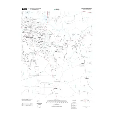
2013 Map of Greenville SE
USGS Topo · Published 2013About this map
East Carolina University and the southeastern residential expansion of the city anchor this 2013 survey of the coastal plain. The landscape is defined by the Tar River as it meanders past a series of historical river access points including Barber Landing, Cherry Landing, and Dixon Landing. The presence of the Port Terminal and the Port Terminal Rd infrastructure illustrates the ongoing industrial and commercial importance of the river to the local economy.
Find a feature on this map
106 named features on this map. Tap any name to fly to it.
Don’t see what you’re looking for? This feature index may not catch every label — zoom into the map to look around manually.
Map Details
Editions of this 2013 Greenville SE Map
This is the sole edition of this map. No revisions or reprints were ever made.
Other maps of this area

1902 · Ayden
USGS Topo · 1:62,500

1902 · Vanceboro
USGS Topo · 1:62,500

1903 · Winterville
USGS Topo · 1:62,500

1903 · Chocowinity
USGS Topo · 1:62,500

1904 · Ayden
USGS Topo · 1:62,500

1904 · Vanceboro
USGS Topo · 1:62,500

1905 · Chocowinity
USGS Topo · 1:62,500

1905 · Winterville
USGS Topo · 1:62,500

1905 · Vanceboro
USGS Topo · 1:62,500

1953 · Rocky Mount
USGS Topo · 1:250,000