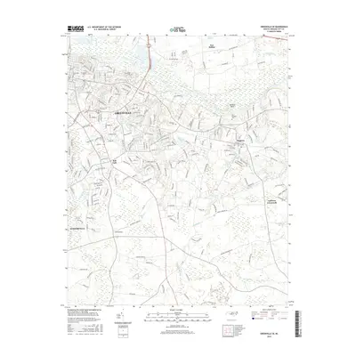
2016 Map of Greenville SE
USGS Topo · Published 2016About this map
The Tar River and its many meandering tributaries define the landscape southeast of Greenville in this mid-2010s survey. The area transitions from the urbanized sprawl of The Hill and the campus of E Carolina University into a complex network of wetlands and rural crossroads. The hydrology is particularly prominent, with Hardee Creek, Fork Swamp, and Cow Swamp carving through the coastal plain, while features like Rainbow Bank offer distinctive relief along the river's edge.
Find a feature on this map
233 named features on this map. Tap any name to fly to it.
Don’t see what you’re looking for? This feature index may not catch every label — zoom into the map to look around manually.
Map Details
Editions of this 2016 Greenville SE Map
This is the sole edition of this map. No revisions or reprints were ever made.
Other maps of this area

1902 · Ayden
USGS Topo · 1:62,500

1902 · Vanceboro
USGS Topo · 1:62,500

1903 · Winterville
USGS Topo · 1:62,500

1903 · Chocowinity
USGS Topo · 1:62,500

1904 · Ayden
USGS Topo · 1:62,500

1904 · Vanceboro
USGS Topo · 1:62,500

1905 · Chocowinity
USGS Topo · 1:62,500

1905 · Winterville
USGS Topo · 1:62,500

1905 · Vanceboro
USGS Topo · 1:62,500

1953 · Rocky Mount
USGS Topo · 1:250,000