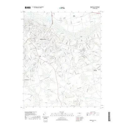
2019 Map of Greenville SE
USGS Topo · Published 2019About this map
The Tar River defines the northern reaches of this landscape, winding past the notable Rainbow Bank before moving toward Simpson. This 2019 survey documents the suburban expansion of Greenville as it reaches southeast toward Winterville and Bell Fork. The map provides a detailed view of the regional cemetery landscape, including the Pinewood Cem and several smaller sites such as the E Carolina Univ Cem and the Old Simpson Cem. To the south, the terrain becomes increasingly defined by wetlands and creek branches, including Cow Swamp and Indian Well Swamp. Long-established rural corridors like Old Pactolus Rd and Mobleys Bridge Rd link scattered communities such as Galloway Crossroads and New Belden, illustrating the transition from the city's residential grid to the surrounding coastal plain lowlands.
Find a feature on this map
213 named features on this map. Tap any name to fly to it.
Don’t see what you’re looking for? This feature index may not catch every label — zoom into the map to look around manually.
Map Details
Editions of this 2019 Greenville SE Map
This is the sole edition of this map. No revisions or reprints were ever made.
Other maps of this area

1902 · Ayden
USGS Topo · 1:62,500

1902 · Vanceboro
USGS Topo · 1:62,500

1903 · Winterville
USGS Topo · 1:62,500

1903 · Chocowinity
USGS Topo · 1:62,500

1904 · Ayden
USGS Topo · 1:62,500

1904 · Vanceboro
USGS Topo · 1:62,500

1905 · Chocowinity
USGS Topo · 1:62,500

1905 · Winterville
USGS Topo · 1:62,500

1905 · Vanceboro
USGS Topo · 1:62,500

1953 · Rocky Mount
USGS Topo · 1:250,000