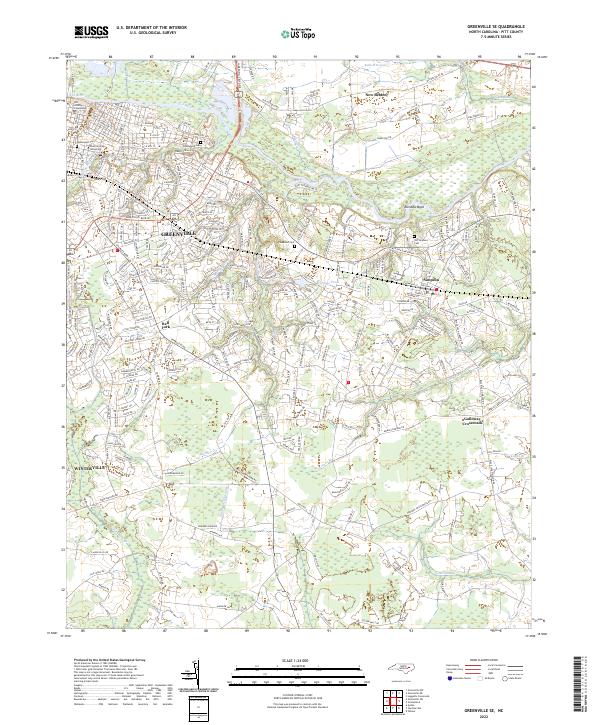
2022 Map of Greenville SE
USGS Topo · Published 2022About this map
Greenville and its surrounding communities are defined by the winding course of the Tar River, which cuts through the northern portion of this Pitt County landscape. The urban reach of East Carolina University and the Pitt County Courthouse give way to a network of established neighborhoods and smaller settlements like Simpson and Winterville. The low-lying eastern terrain is marked by significant wetlands, including Baldwin Swamp and Indian Well Swamp, which illustrate the natural drainage patterns that have historically shaped local land use and development.
Find a feature on this map
34 named features on this map. Tap any name to fly to it.
Don’t see what you’re looking for? This feature index may not catch every label — zoom into the map to look around manually.
Map Details
Editions of this 2022 Greenville SE Map
This is the sole edition of this map. No revisions or reprints were ever made.
Other maps of this area

1902 · Ayden
USGS Topo · 1:62,500

1902 · Vanceboro
USGS Topo · 1:62,500

1903 · Winterville
USGS Topo · 1:62,500

1903 · Chocowinity
USGS Topo · 1:62,500

1904 · Ayden
USGS Topo · 1:62,500

1904 · Vanceboro
USGS Topo · 1:62,500

1905 · Chocowinity
USGS Topo · 1:62,500

1905 · Winterville
USGS Topo · 1:62,500

1905 · Vanceboro
USGS Topo · 1:62,500

1953 · Rocky Mount
USGS Topo · 1:250,000