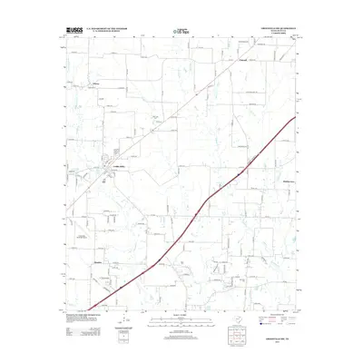
2013 Map of Greenville SW
USGS Topo · Published 2013About this map
Caddo Mills serves as the primary hub of this Hunt County landscape, situated where the road network converges amidst a complex system of prairie waterways. The terrain is defined by the branching tributaries of the Caddo Creek system, including Middle Caddo Cr and W Caddo Cr, which have historically dictated the placement of homesteads and rural roads. Outside the main settlement, the area is dotted with small communities like Clinton and Concord, reflecting a late 20th-century rural-residential pattern.
Find a feature on this map
139 named features on this map. Tap any name to fly to it.
Don’t see what you’re looking for? This feature index may not catch every label — zoom into the map to look around manually.
Map Details
Editions of this 2013 Greenville SW Map
This is the sole edition of this map. No revisions or reprints were ever made.
Other maps of this area
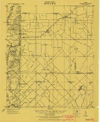
1919 · Royse City
USGS Topo · 1:62,500
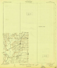
1930 · Farmersville
USGS Topo · 1:62,500

1954 · Dallas
USGS Topo · 1:250,000

1954 · Sherman
USGS Topo · 1:250,000
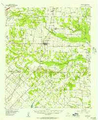
1956 · Quinlan
USGS Topo · 1:62,500

1958 · Dallas
USGS Topo · 1:250,000

1958 · Sherman
USGS Topo · 1:250,000
1962 · Greenville NW
USGS Topo · 1:24,000
1962 · Greenville SW
USGS Topo · 1:24,000
1962 · Greenville SE
USGS Topo · 1:24,000