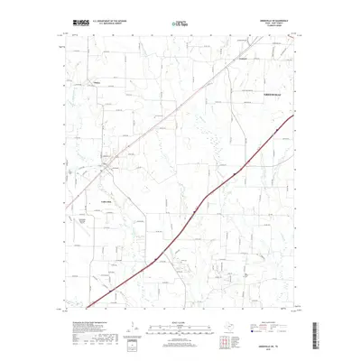
2019 Map of Greenville SW
USGS Topo · Published 2019About this map
Caddo Mills and the southwestern outskirts of Greenville anchor this 2019 survey of the Blackland Prairie region in Hunt County. The landscape is defined by the headwaters of the Sabine River system, including Middle Caddo Creek, West Caddo Creek, and East Caddo Creek, which carve subtle drainage patterns across the terrain. While Interstate 30 and the Caddo Mills Municipal Airport represent modern infrastructure, the map preserves the location of several historical community markers. Genealogists will find the placement of Elm Creek Cemetery, Stone Cemetery, and Van Sickle Cemetery particularly useful for tracing local family history. Small settlements such as Clinton, Concord, and Van Sickle are documented along a dense grid of farm-to-market and county roads that follow the original agricultural land divisions of the area.
Find a feature on this map
126 named features on this map. Tap any name to fly to it.
Don’t see what you’re looking for? This feature index may not catch every label — zoom into the map to look around manually.
Map Details
Editions of this 2019 Greenville SW Map
This is the sole edition of this map. No revisions or reprints were ever made.
Other maps of this area

1919 · Royse City
USGS Topo · 1:62,500

1930 · Farmersville
USGS Topo · 1:62,500

1954 · Dallas
USGS Topo · 1:250,000

1954 · Sherman
USGS Topo · 1:250,000

1956 · Quinlan
USGS Topo · 1:62,500

1958 · Dallas
USGS Topo · 1:250,000

1958 · Sherman
USGS Topo · 1:250,000

1962 · Greenville NW
USGS Topo · 1:24,000

1962 · Greenville SW
USGS Topo · 1:24,000

1962 · Greenville SE
USGS Topo · 1:24,000