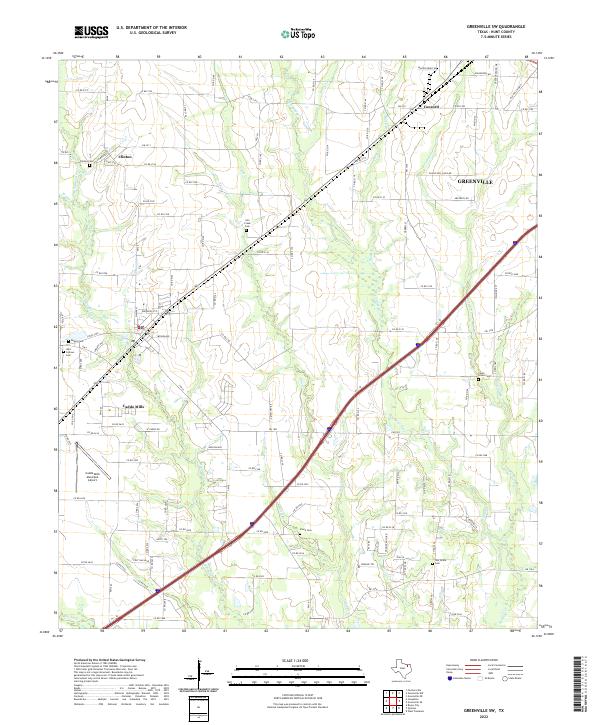
2022 Map of Greenville SW
USGS Topo · Published 2022About this map
The southwest corridor of Greenville and the town of Caddo Mills define this region of Hunt County, where the landscape is marked by the complex drainage network of the Caddo Creek system. Small agricultural settlements like Clinton and Concord remain prominent local identifiers, anchored by a series of family and community burial grounds including Clinton Cem and the Stone Cem. The presence of the Caddo Mills Municipal Airport indicates the modern infrastructure integrated into this rural-to-suburban transition zone.
Find a feature on this map
120 named features on this map. Tap any name to fly to it.
Don’t see what you’re looking for? This feature index may not catch every label — zoom into the map to look around manually.
Map Details
Editions of this 2022 Greenville SW Map
This is the sole edition of this map. No revisions or reprints were ever made.
Other maps of this area

1919 · Royse City
USGS Topo · 1:62,500

1930 · Farmersville
USGS Topo · 1:62,500

1954 · Dallas
USGS Topo · 1:250,000

1954 · Sherman
USGS Topo · 1:250,000

1956 · Quinlan
USGS Topo · 1:62,500

1958 · Dallas
USGS Topo · 1:250,000

1958 · Sherman
USGS Topo · 1:250,000

1962 · Greenville NW
USGS Topo · 1:24,000

1962 · Greenville SW
USGS Topo · 1:24,000

1962 · Greenville SE
USGS Topo · 1:24,000