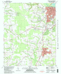
1981 Map of Greenville SW
USGS Topo · Published 1982About this map
Greenville and the burgeoning suburb of Winterville anchor this 1981 snapshot of Pitt County, where residential expansion meets the established agricultural and industrial landscape of eastern North Carolina. The corridor between these hubs is defined by the Seaboard Coast Line and Norfolk Southern railroads, which facilitated the movement of goods through the region's flat coastal plain. Educational and institutional growth is evident through the presence of the Pitt Tech Inst and several local campuses like Robinson Sch and Sauter Sch.
Find a feature on this map
59 named features on this map. Tap any name to fly to it.
Don’t see what you’re looking for? This feature index may not catch every label — zoom into the map to look around manually.
Map Details
Editions of this 1981 Greenville SW Map
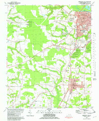
2 editions found
Other maps of this area

1902 · Ayden
USGS Topo · 1:62,500

1903 · Winterville
USGS Topo · 1:62,500

1904 · Ayden
USGS Topo · 1:62,500

1904 · Falkland
USGS Topo · 1:62,500

1905 · Winterville
USGS Topo · 1:62,500

1914 · Kinston
USGS Topo · 1:48,000

1916 · Kinston
USGS Topo · 1:62,500

1953 · Rocky Mount
USGS Topo · 1:250,000

1954 · Rocky Mount
USGS Topo · 1:250,000

1980 · Falkland
USGS Topo · 1:24,000