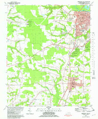
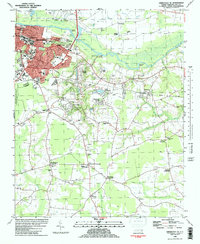
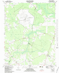
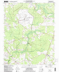
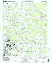
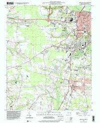
1981 Map of Greenville SW
USGS Topo · Published 1982This historical map portrays the area of Greenville SW in 1981, primarily covering Pitt County. Featuring a scale of 1:24000, this map provides a highly detailed snapshot of the terrain, roads, buildings, counties, and historical landmarks in the Greenville SW region at the time. Published in 1982, it is one of 2 known editions of this map due to revisions or reprints.
Find a feature on this map
66 named features on this map. Tap any name to fly to it.
Don’t see what you’re looking for? This feature index may not catch every label — zoom into the map to look around manually.
Map Details
Editions of this 1981 Greenville SW Map
2 editions found
Historical Maps of Devonshire Square Through Time
13 maps found
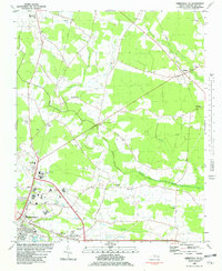
1979 Leggetts Crossroads
Pitt County, NC
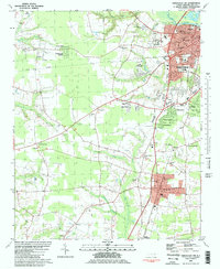
1981 Greenville NE
Pitt County, NC
1981 Greenville SW
Pitt County, NC
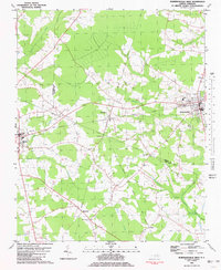
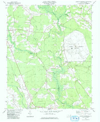
1981 Robersonsville West
Pitt County, NC
1982 Greenville NW
Pitt County, NC
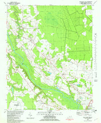
1982 Greenville SE
Pitt County, NC
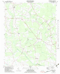
1983 Gardnerville
Pitt County, NC
1983 Wilmar
Pitt County, NC
1997 Wilmar
Pitt County, NC
1998 Greenville NE
Pitt County, NC

1998 Greenville NW
Pitt County, NC

1998 Greenville SE
Pitt County, NC
1998 Greenville SW
Pitt County, NC