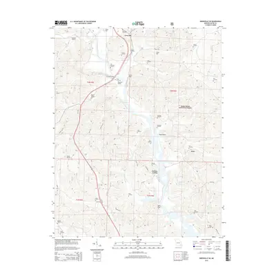
2015 Map of Greenville SW
USGS Topo · Published 2015About this map
The Saint Francis River and its expansive valley dictate the geography of this Missouri Ozarks terrain, where the river widens significantly into the northern reaches of Lake Wappapello. This 2015 USGS survey reveals a landscape of high-density family cemeteries, such as the Old Greenville Cemetery, Wight Cemetery, and Stephens Cemetery, which are concentrated along the river bluffs and former floodplains. The township of Greenville serves as a central hub, connected by the Greenville Bridge to small communities like Pleasant Valley.
Find a feature on this map
61 named features on this map. Tap any name to fly to it.
Don’t see what you’re looking for? This feature index may not catch every label — zoom into the map to look around manually.
Map Details
Editions of this 2015 Greenville SW Map
This is the sole edition of this map. No revisions or reprints were ever made.
Other maps of this area
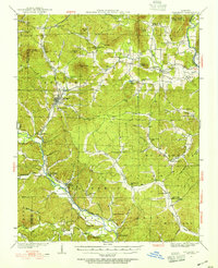
1932 · Piedmont
USGS Topo · 1:62,500
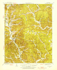
1934 · Greenville
USGS Topo · 1:62,500
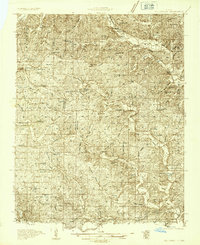
1934 · Williamsville
USGS Topo · 1:48,000
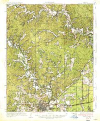
1935 · Poplar Bluff
USGS Topo · 1:62,500
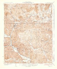
1935 · Piedmont
USGS Topo · 1:62,500
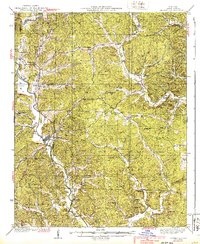
1939 · Greenville
USGS Topo · 1:62,500
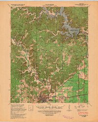
1939 · Poplar Bluff
USGS Topo · 1:62,500
1940 · Williamsville
USGS Topo · 1:62,500

1949 · Rolla
USGS Topo · 1:250,000
1949 · Poplar Bluff
USGS Topo · 1:62,500