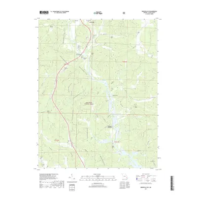
2017 Map of Greenville SW
USGS Topo · Published 2017About this map
Greenville and its surrounding river valley are defined by the presence of Lake Wappapello, which dominates the central and southern portions of this landscape. Much of the western and central terrain is preserved within the Mark Twain National Forest, where the complex network of the Ozark Trail Wappapello Section and its various loops like the Ozark Trail Wappapello 172 LP wind through hollows such as Smoot Hollow and Happy Hollow. The area is notably dense with family burial grounds and historical sites, including the Old Greenville Cem near the riverbanks and the Greenville Bridge.
Find a feature on this map
65 named features on this map. Tap any name to fly to it.
Don’t see what you’re looking for? This feature index may not catch every label — zoom into the map to look around manually.
Map Details
Editions of this 2017 Greenville SW Map
This is the sole edition of this map. No revisions or reprints were ever made.
Other maps of this area
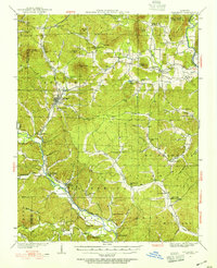
1932 · Piedmont
USGS Topo · 1:62,500
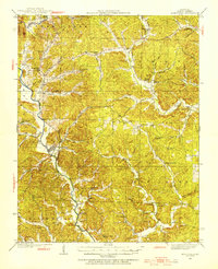
1934 · Greenville
USGS Topo · 1:62,500
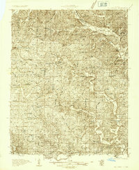
1934 · Williamsville
USGS Topo · 1:48,000
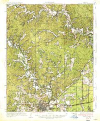
1935 · Poplar Bluff
USGS Topo · 1:62,500
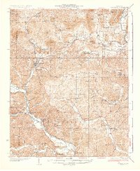
1935 · Piedmont
USGS Topo · 1:62,500
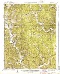
1939 · Greenville
USGS Topo · 1:62,500
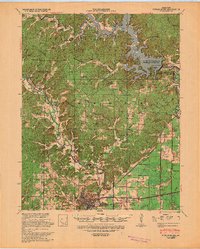
1939 · Poplar Bluff
USGS Topo · 1:62,500
1940 · Williamsville
USGS Topo · 1:62,500

1949 · Rolla
USGS Topo · 1:250,000
1949 · Poplar Bluff
USGS Topo · 1:62,500