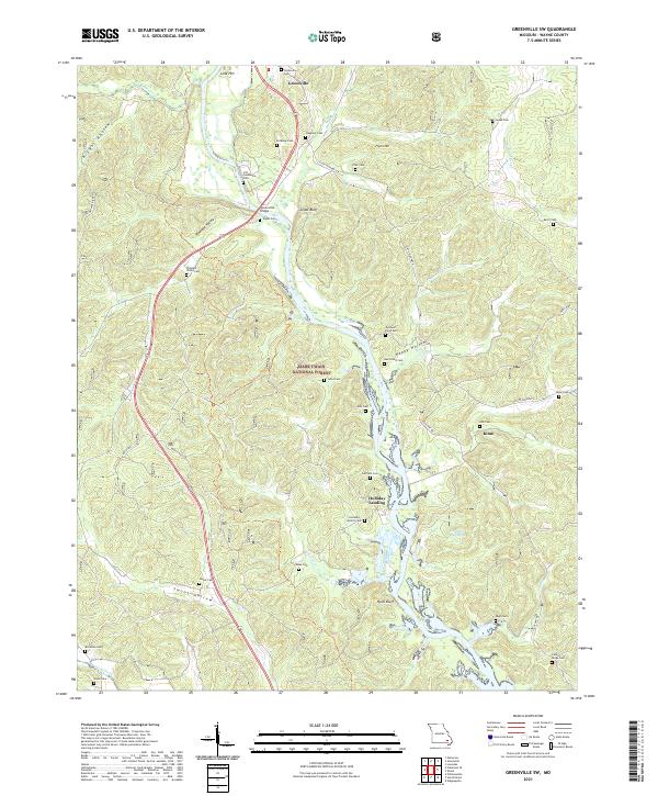
2021 Map of Greenville SW
USGS Topo · Published 2021About this map
The Saint Francis River winds through this section of Wayne County, defining a landscape where the river’s course and the surrounding ridges of the Mark Twain National Forest dictate the pattern of settlement. Near the Greenville Bridge, the terrain transitions from the elevations of Cedar Bluff and Flynn Hill down toward the riverbanks. This area is particularly dense with small family and community burial grounds, such as the Twidwell Farm Cem and Hickman Cem, providing a detailed record of the families who settled these hollows.
Find a feature on this map
54 named features on this map. Tap any name to fly to it.
Don’t see what you’re looking for? This feature index may not catch every label — zoom into the map to look around manually.
Map Details
Editions of this 2021 Greenville SW Map
This is the sole edition of this map. No revisions or reprints were ever made.
Other maps of this area

1932 · Piedmont
USGS Topo · 1:62,500

1934 · Greenville
USGS Topo · 1:62,500

1934 · Williamsville
USGS Topo · 1:48,000

1935 · Poplar Bluff
USGS Topo · 1:62,500

1935 · Piedmont
USGS Topo · 1:62,500

1939 · Greenville
USGS Topo · 1:62,500

1939 · Poplar Bluff
USGS Topo · 1:62,500

1940 · Williamsville
USGS Topo · 1:62,500

1949 · Rolla
USGS Topo · 1:250,000

1949 · Poplar Bluff
USGS Topo · 1:62,500