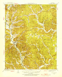
1934 Map of Greenville
USGS Topo · Published 1934About this map
Greenville serves as the central hub of this Missouri Ozarks terrain, positioned near the confluence where the St Francis River winds through the hills of Wayne County. The landscape is defined by a dense network of hollows—such as Bounds Hollow and McCabe Hollow—and small agrarian settlements like Burbank, Silva, and Lowndes. The 1930s social fabric is visible through the high concentration of combined institutions like the Holmes Chapel Sch & Ch and White Hollow Sch & Ch, alongside specialized landmarks such as the CCC Camp and Silva PO.
Find a feature on this map
70 named features on this map. Tap any name to fly to it.
Don’t see what you’re looking for? This feature index may not catch every label — zoom into the map to look around manually.
Map Details
Editions of this 1934 Greenville Map
2 editions found
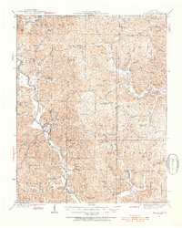
Other maps of this area
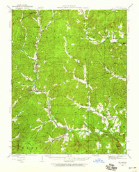
1926 · Des Arc
USGS Topo · 1:62,500
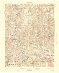
1929 · Des Arc
USGS Topo · 1:62,500
1930 · Coldwater
USGS Topo · 1:62,500
1932 · Piedmont
USGS Topo · 1:62,500
1933 · Marquand
USGS Topo · 1:62,500
1934 · Williamsville
USGS Topo · 1:48,000
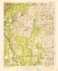
1934 · Puxico
USGS Topo · 1:62,500
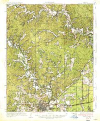
1935 · Poplar Bluff
USGS Topo · 1:62,500
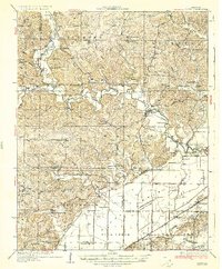
1935 · Zalma
USGS Topo · 1:62,500
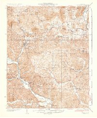
1935 · Piedmont
USGS Topo · 1:62,500