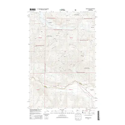
2014 Map of Greenwater
USGS Topo · Published 2014About this map
Snoqualmie National Forest dominates this 2014 survey of the high-elevation terrain where the Green River and the White River carve deep valleys through the Cascade foothills. The topography is defined by significant ridges like Grass Mtn and Huckleberry Mtn, with the latter featuring Mule Spring on its eastern flank. The settlement of Greenwater serves as a primary waypoint along the Wa-410 corridor near the King County and Pierce County line.
Find a feature on this map
41 named features on this map. Tap any name to fly to it.
Don’t see what you’re looking for? This feature index may not catch every label — zoom into the map to look around manually.
Map Details
Editions of this 2014 Greenwater Map
This is the sole edition of this map. No revisions or reprints were ever made.
Other maps of this area
1913 · Cedar Lake
USGS Topo · 1:125,000
1953 · Eagle Gorge
USGS Topo · 1:24,000
1956 · Greenwater
USGS Topo · 1:62,500
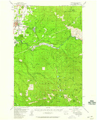
1956 · Enumclaw
USGS Topo · 1:62,500
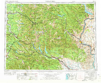
1957 · Wenatchee
USGS Topo · 1:250,000
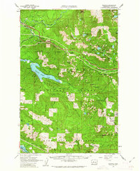
1960 · Bandera
USGS Topo · 1:62,500
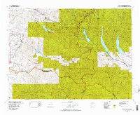
1975 · Snoqualmie Pass
USGS Topo · 1:100,000
1986 · Bearhead Mtn
USGS Topo · 1:24,000
1986 · Nagrom
USGS Topo · 1:24,000
1986 · Clear West Peak
USGS Topo · 1:24,000