1955 Map of Greenwood
USGS Topo · Published 1956About this map
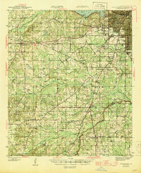
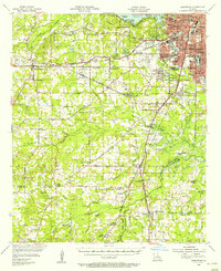
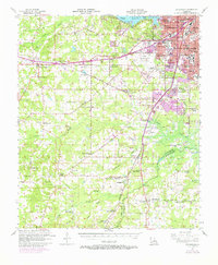
Shreveport expands westward toward the Texas and Pacific Railway line in this mid-century survey, revealing a landscape defined by rapid suburbanization and established rural institutions. The arrival of the Greater Shreveport Airport anchors the central terrain, while the northern edge is dominated by the sprawling waters of Cross Lake, featuring Buzzard Island and a nearby Fish Hatchery. The map documents a dense network of educational and social landmarks, from the Fairpark High Sch and Coleman College Mooretown Sch to the Caddo Parish Penal Farm. Moving south, the terrain transitions into the creek-fed lowlands of Caddo Parish and De Soto Parish, where small communities like Keithville and Stonewall are marked by numerous country churches such as Galilee Ch and family burial grounds like McMillian Cem and Davidson Cem.
Find a feature on this map
102 named features on this map. Tap any name to fly to it.
Don’t see what you’re looking for? This feature index may not catch every label — zoom into the map to look around manually.
Map Details
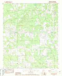
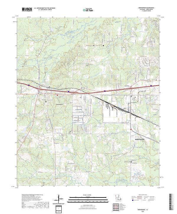
Editions of this 1955 Greenwood Map
2 editions found
Historical Maps of Shreveport Through Time
8 maps found