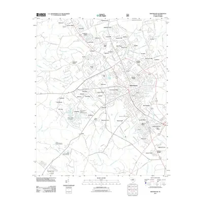
2011 Map of Greenwood
USGS Topo · Published 2011About this map
Greenwood serves as the focal point of this South Carolina study, showing a dense network of neighborhoods and industrial development. The town's expansion is evident through numerous residential developments such as Ponderosa Heights, Locksley Hall, and Wellington Green. To the south and east, the map reveals a history of communal spaces including Magnolia Cemetery and Fairview Cemetery, alongside industrial remnants like Downs Siding.
Find a feature on this map
94 named features on this map. Tap any name to fly to it.
Don’t see what you’re looking for? This feature index may not catch every label — zoom into the map to look around manually.
Map Details
Editions of this 2011 Greenwood Map
This is the sole edition of this map. No revisions or reprints were ever made.
Other maps of this area

1892 · Abbeville
USGS Topo · 1:125,000

1908 · Kirksey
USGS Topo · 1:24,000

1948 · Abbeville East
USGS Topo · 1:24,000

1948 · Verdery
USGS Topo · 1:24,000

1949 · Ninety-Six
USGS Topo · 1:24,000

1949 · Greenwood
USGS Topo · 1:24,000

1950 · Bradley
USGS Topo · 1:24,000

1950 · Kirksey
USGS Topo · 1:24,000

1950 · Verdery
USGS Topo · 1:24,000

1950 · Abbeville East
USGS Topo · 1:24,000