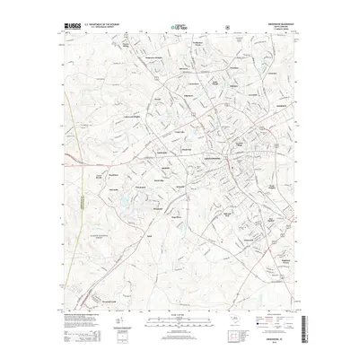
2014 Map of Greenwood
USGS Topo · Published 2014About this map
Greenwood serves as a dense municipal hub on this 2014 survey, where the Lander Univ campus and the Greenwood County Airport anchor the local geography. The city's residential expansion is evident in the ring of named neighborhoods like Grendel Village, Wade Heights, and Ponderosa Heights. To the southwest, the landscape shifts toward the preserved wilderness of the Sumter National Forest, where the Abbeville County line meets the headwaters of Big Curtail Cr and Lake Chinquapin. Local history is preserved in numerous burial grounds, including the centrally located Magnolia Cem and Fairview Cem. Infrastructure is defined by the CSX Transportation line passing through Downs Siding, reflecting the area's continued reliance on rail for commerce while suburban pockets like Idlewood and Canterbury continue to fill the gaps between the forest edge and the urban center.
Find a feature on this map
300 named features on this map. Tap any name to fly to it.
Don’t see what you’re looking for? This feature index may not catch every label — zoom into the map to look around manually.
Map Details
Editions of this 2014 Greenwood Map
This is the sole edition of this map. No revisions or reprints were ever made.
Other maps of this area

1892 · Abbeville
USGS Topo · 1:125,000

1908 · Kirksey
USGS Topo · 1:24,000

1948 · Abbeville East
USGS Topo · 1:24,000

1948 · Verdery
USGS Topo · 1:24,000

1949 · Ninety-Six
USGS Topo · 1:24,000

1949 · Greenwood
USGS Topo · 1:24,000

1950 · Bradley
USGS Topo · 1:24,000

1950 · Kirksey
USGS Topo · 1:24,000

1950 · Verdery
USGS Topo · 1:24,000

1950 · Abbeville East
USGS Topo · 1:24,000