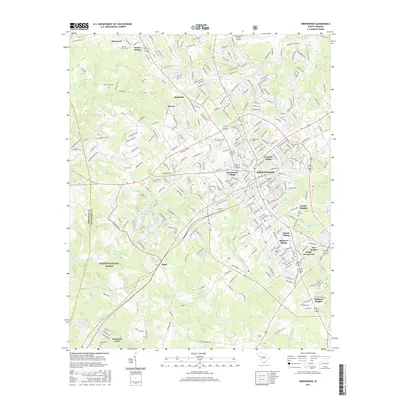
2017 Map of Greenwood
USGS Topo · Published 2017About this map
Greenwood anchors this Piedmont landscape, surrounded by a constellation of industrial and residential neighborhoods that reflect the city's twentieth-century growth. To the south and east, distinct communities like Grendel Village, Mathews Village, and Panola Village sit alongside the rail lines operated by CSX Transportation. These areas, including the more distant Promised Land and Salak, show the patterns of localized settlement that once supported the region's agricultural and manufacturing economy.
Find a feature on this map
283 named features on this map. Tap any name to fly to it.
Don’t see what you’re looking for? This feature index may not catch every label — zoom into the map to look around manually.
Map Details
Editions of this 2017 Greenwood Map
This is the sole edition of this map. No revisions or reprints were ever made.
Other maps of this area

1892 · Abbeville
USGS Topo · 1:125,000

1908 · Kirksey
USGS Topo · 1:24,000

1948 · Abbeville East
USGS Topo · 1:24,000

1948 · Verdery
USGS Topo · 1:24,000

1949 · Ninety-Six
USGS Topo · 1:24,000

1949 · Greenwood
USGS Topo · 1:24,000

1950 · Bradley
USGS Topo · 1:24,000

1950 · Kirksey
USGS Topo · 1:24,000

1950 · Verdery
USGS Topo · 1:24,000

1950 · Abbeville East
USGS Topo · 1:24,000