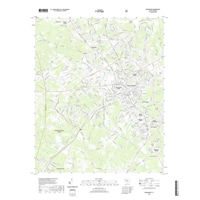
2020 Map of Greenwood
USGS Topo · Published 2020About this map
Lander University sits near the heart of Greenwood, surrounded by a complex network of residential villages and historic cemetery sites. The urban landscape is defined by its distinct neighborhoods including Wade Heights, Panola Village, and Grendel Village, radiating from the Greenwood County Courthouse. This layout reflects the mid-twentieth-century growth of South Carolina's industrial and educational centers, where community life was organized around the university and local mills.
Find a feature on this map
304 named features on this map. Tap any name to fly to it.
Don’t see what you’re looking for? This feature index may not catch every label — zoom into the map to look around manually.
Map Details
Editions of this 2020 Greenwood Map
This is the sole edition of this map. No revisions or reprints were ever made.
Other maps of this area

1892 · Abbeville
USGS Topo · 1:125,000

1908 · Kirksey
USGS Topo · 1:24,000

1948 · Abbeville East
USGS Topo · 1:24,000

1948 · Verdery
USGS Topo · 1:24,000

1949 · Ninety-Six
USGS Topo · 1:24,000

1949 · Greenwood
USGS Topo · 1:24,000

1950 · Bradley
USGS Topo · 1:24,000

1950 · Kirksey
USGS Topo · 1:24,000

1950 · Verdery
USGS Topo · 1:24,000

1950 · Abbeville East
USGS Topo · 1:24,000