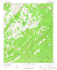
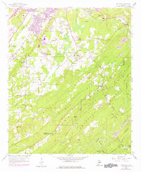
1959 Map of Greenwood
USGS Topo · Published 1967About this map
Red Mountain and Shades Mountain dominate the topography of this Jefferson and Shelby County area, creating a series of parallel valleys where industry and agriculture meet. In the late 1950s, the landscape was a complex network of resource extraction and rail transport, evidenced by the numerous mines, a Chert Pit, and a Gravel Pit interspersed with residential developments like Phillips Estates and Pine Crest. The Southern Railway, Atlantic Coast Line, and Louisville and Nashville railroads served as the primary conduits for local coal and iron resources, connecting communities such as Raimund and Coalmont. Local social life centered around rural anchors like Lacey's Chapel, Hopewell Ch, and Shades Valley Sch, while landmarks such as the Bessemer Airport and a nearby Drive-in Theater point toward the era's post-war suburban modernization.
Find a feature on this map
72 named features on this map. Tap any name to fly to it.
Don’t see what you’re looking for? This feature index may not catch every label — zoom into the map to look around manually.
Map Details
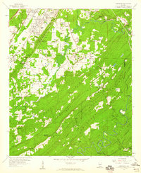
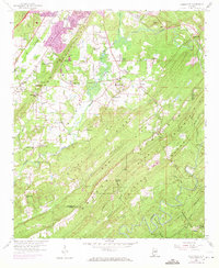
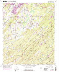
Editions of this 1959 Greenwood Map
5 editions found
Other maps of this area

1890 · Bessemer
USGS Topo · 1:125,000

1892 · Bessemer
USGS Topo · 1:125,000

1899 · Brookwood
USGS Topo · 1:125,000

1905 · Bessemer Iron District
USGS Topo · 1:62,500

1907 · Bessemer Special
USGS Topo · 1:62,500

1910 · Montevallo
USGS Topo · 1:62,500

1927 · Adger
USGS Topo · 1:48,000

1932 · Yolande
USGS Topo · 1:62,500

1934 · Blocton
USGS Topo · 1:48,000

1935 · Yolande
USGS Topo · 1:62,500