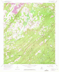
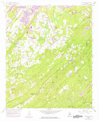
1959 Map of Greenwood
USGS Topo · Published 1971About this map
Bessemer Airport and the expanding residential corridors of Raimund and Eastern Valley anchor the northern reaches of this mid-century landscape. The terrain is defined by the prominent northeast-southwest ridges of Shades Mountain and Chestnut Ridge, which dictate the paths of the Southern and Seaboard Coast Line railroads. These industrial arteries once supported local resource extraction, evidenced by the Chert Pit and scattered mines located near Sparks Gap.
Find a feature on this map
71 named features on this map. Tap any name to fly to it.
Don’t see what you’re looking for? This feature index may not catch every label — zoom into the map to look around manually.
Map Details
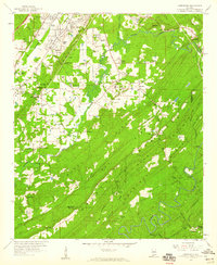
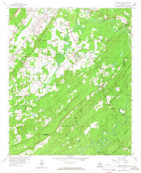
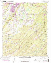
Editions of this 1959 Greenwood Map
5 editions found
Other maps of this area

1890 · Bessemer
USGS Topo · 1:125,000

1892 · Bessemer
USGS Topo · 1:125,000

1899 · Brookwood
USGS Topo · 1:125,000

1905 · Bessemer Iron District
USGS Topo · 1:62,500

1907 · Bessemer Special
USGS Topo · 1:62,500

1910 · Montevallo
USGS Topo · 1:62,500

1927 · Adger
USGS Topo · 1:48,000

1932 · Yolande
USGS Topo · 1:62,500

1934 · Blocton
USGS Topo · 1:48,000

1935 · Yolande
USGS Topo · 1:62,500