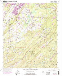
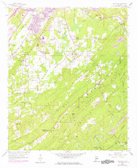
1959 Map of Greenwood
USGS Topo · Published 1978About this map
The ridge-and-valley landscape of Jefferson County is prominently displayed here, defined by the parallel elevations of Red Mountain, Shades Mountain, and Pine Mountain Ridge. This terrain significantly influenced the local transport and industrial patterns, as seen in the concentration of strip mines and various mineral pits tucked between the slopes. In the lower elevations, small settlements like Greenwood and Hopewell are centered around community landmarks such as Hopewell Ch and Canaan Ch.
Find a feature on this map
77 named features on this map. Tap any name to fly to it.
Don’t see what you’re looking for? This feature index may not catch every label — zoom into the map to look around manually.
Map Details
Editions of this 1959 Greenwood Map
5 editions found
Other maps of this area

1890 · Bessemer
USGS Topo · 1:125,000

1892 · Bessemer
USGS Topo · 1:125,000

1899 · Brookwood
USGS Topo · 1:125,000

1905 · Bessemer Iron District
USGS Topo · 1:62,500

1907 · Bessemer Special
USGS Topo · 1:62,500

1910 · Montevallo
USGS Topo · 1:62,500

1927 · Adger
USGS Topo · 1:48,000

1932 · Yolande
USGS Topo · 1:62,500

1934 · Blocton
USGS Topo · 1:48,000

1935 · Yolande
USGS Topo · 1:62,500