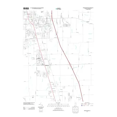
1973 Map of Greenwood
USGS Topo · Published 1975About this map
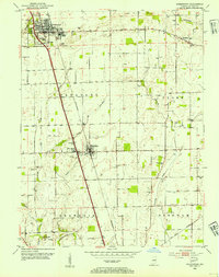
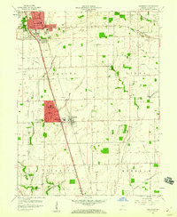
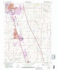
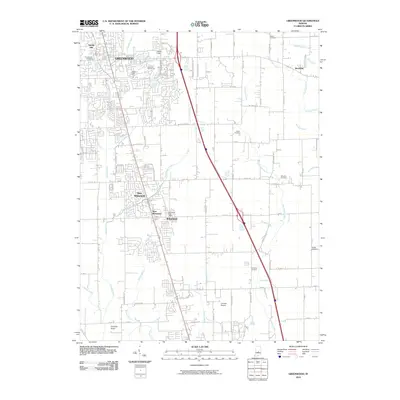
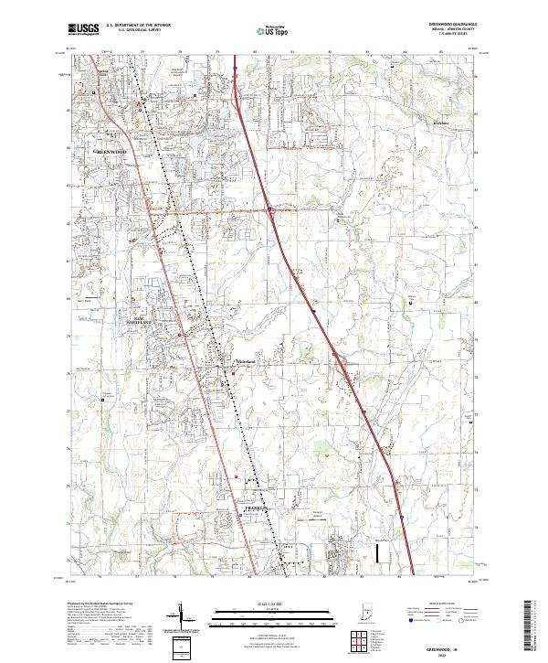
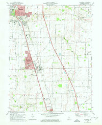
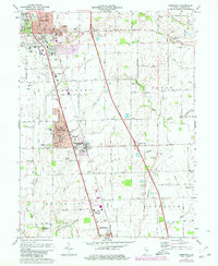
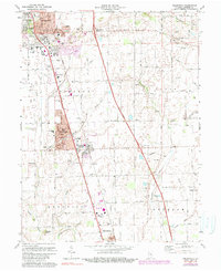
Greenwood and Whiteland anchor this 1970s landscape, reflecting the suburban expansion along the Penn Central rail line. The map illustrates a shift from the agrarian roots of Pleasant and Clark townships toward more structured residential developments, seen in the residential grids of New Whiteland and the presence of institutions like Central Technical Sch. Despite this growth, the area's rural heritage remains visible through a dense network of family and community burial grounds, including Hurricane Cem, Williams Cem, and McGill Cem. Waterways like Hurricane Creek and Grassy Creek wind through the terrain, which is punctuated by landmarks such as Donalds Knoll and Polk Hill. Infrastructure of the era is well-documented, from the Sewage Disposal plants to the Landing Strip and the Radio Tower (WIFN) near Franklin.
Find a feature on this map
55 named features on this map. Tap any name to fly to it.
Don’t see what you’re looking for? This feature index may not catch every label — zoom into the map to look around manually.
Map Details
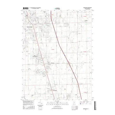
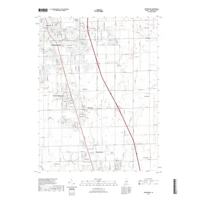
Editions of this 1973 Greenwood Map
3 editions found
Historical Maps of Greenwood Through Time
9 maps found