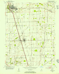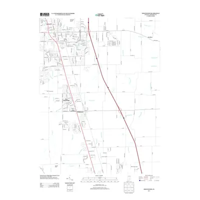
1973 Map of Greenwood
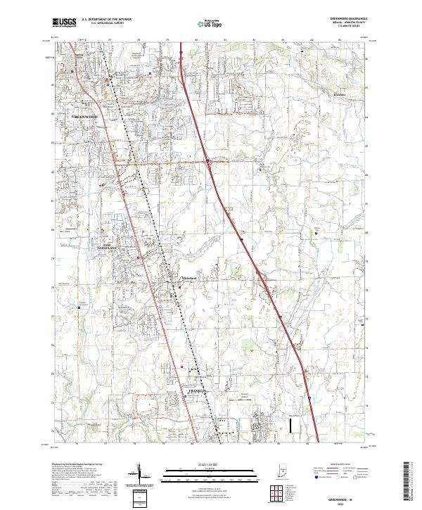
USGS Topo · Published 1990About this map
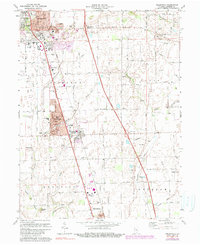
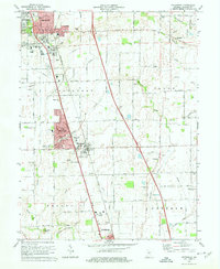
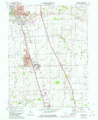
The growing suburban corridor of Greenwood and Whiteland dominates this mid-1970s survey, where residential development expands alongside the established Conrail line. The map highlights the transition from traditional farm tracts to organized neighborhoods, particularly around New Whiteland and the Whiteland High Sch campus. To the north, Craig Park and the historic Greenwood Cemetery anchor the downtown core, while the eastern and southern edges of the map retain a distinctly agricultural character within the townships of Clark and Needham.
Find a feature on this map
48 named features on this map. Tap any name to fly to it.
Don’t see what you’re looking for? This feature index may not catch every label — zoom into the map to look around manually.
Map Details
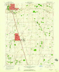
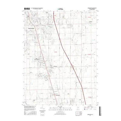
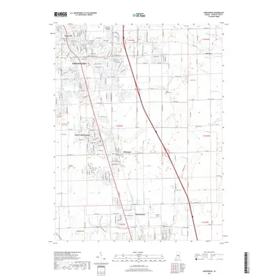
Editions of this 1973 Greenwood Map
3 editions found
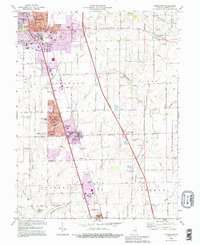
Historical Maps of Greenwood Through Time
9 maps found