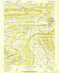
1951 Map of Greenwood
USGS Topo · Published 1951About this map
Backbone Mountain and the Devils Backbone Ridge dominate this post-war landscape, framing a region defined by mid-century industry and military presence. Numerous strip mines are concentrated near Excelsior, illustrating the area's coal-mining activity alongside the rail operations of the St Louis San Francisco and Midland Valley railroads. The northeast corner of the quadrangle marks the edge of the Camp Chaffee Military Reservation, while the historic transition from Old Jenny Lind to New Jenny Lind highlights shifting settlement patterns. Local heritage is preserved through landmarks like Palestine School and Church, Old Town Church, and several family-named burial grounds, including the Mount Zineche Cemetery and Doubleday Cemetery. The terrain is deeply carved by watercourses like Vache Grasse Creek and James Fork, which navigate the prominent ridges of Griffith Mountain and Billcol Mountain.
Find a feature on this map
53 named features on this map. Tap any name to fly to it.
Don’t see what you’re looking for? This feature index may not catch every label — zoom into the map to look around manually.
Map Details
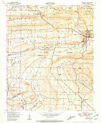
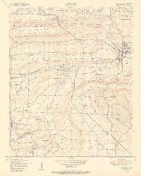
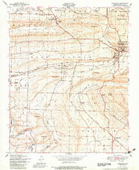
Editions of this 1951 Greenwood Map
4 editions found
Other maps of this area

1879 · Fort Smith
USGS Topo · 1:62,500

1887 · Van Buren
USGS Topo · 1:62,500

1887 · Greenwood
USGS Topo · 1:62,500

1890 · Fort Smith
USGS Topo · 1:125,000

1906 · Lavaca
USGS Topo · 1:62,500

1906 · Barber
USGS Topo · 1:62,500

1943 · Fort Smith
USGS Topo · 1:125,000

1946 · Fort Smith
USGS Topo · 1:250,000

1947 · Lavaca
USGS Topo · 1:62,500

1947 · Van Buren
USGS Topo · 1:62,500