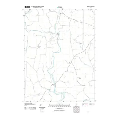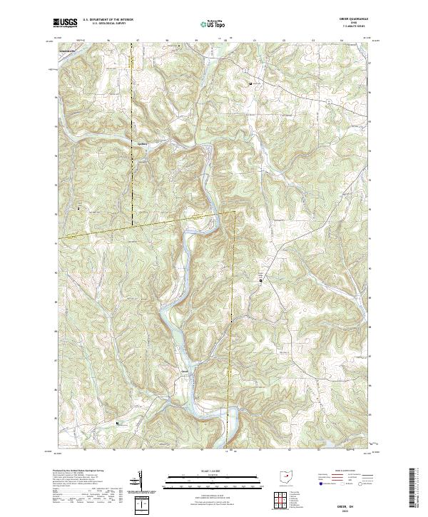
2023 Map of Greer
USGS Topo · Published 2023About this map
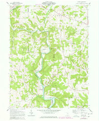
The Mohican River valley serves as the central corridor for this 2023 survey, capturing the convergence of the Black Fork Mohican River and Lake Fork Mohican River near the small community of Greer. This modern topographic study reveals a landscape shaped by both water and elevation, notably along the prominent Kaylor Ridge. Historically significant sites for genealogists include several hillside burial grounds such as Kaylor Ridge Cem, Ullman Cem, and Wolf Cem, which are scattered throughout the winding township road network.
Find a feature on this map
110 named features on this map. Tap any name to fly to it.
Don’t see what you’re looking for? This feature index may not catch every label — zoom into the map to look around manually.
Map Details
Editions of this 2023 Greer Map
This is the sole edition of this map. No revisions or reprints were ever made.
Historical Maps of Loudonville Through Time
6 maps found