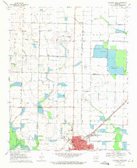
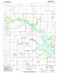
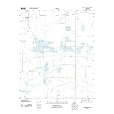
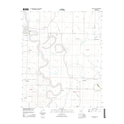
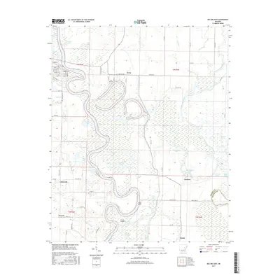
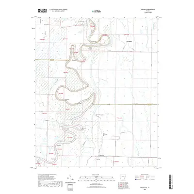
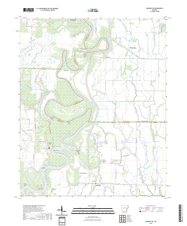
1968 Map of Gregory SW
USGS Topo · Published 1970About this map
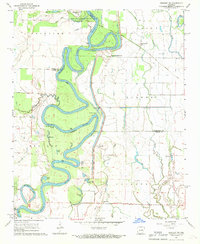
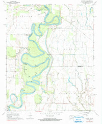
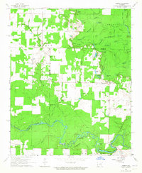
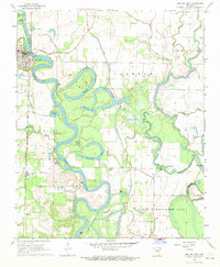
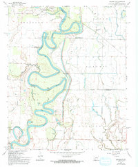
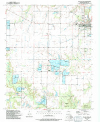
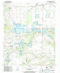
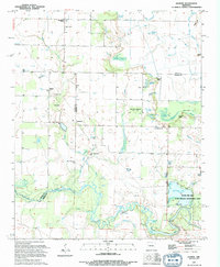
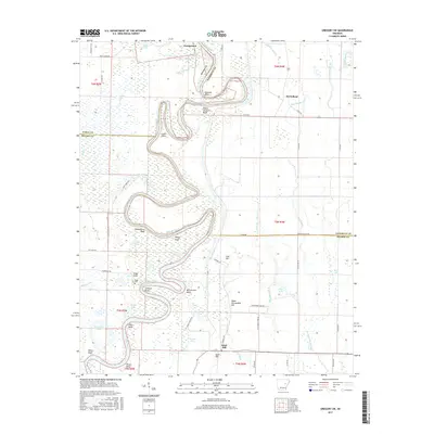
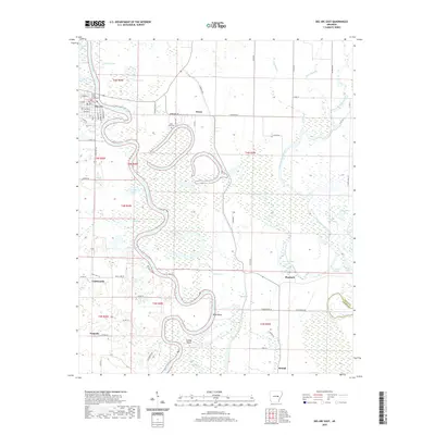
White River meanders in tight, dramatic oxbows through the lowlands of Prairie County and its neighbors in the late 1960s. This river-dominated landscape is defined by its complex network of sloughs and cutoffs, including Horseshoe Lake, Hicks Lake, and Goose Pond, which indicate the shifting course of the water over decades. The high ground of Peach Orchard Bluff and Smokehouse Bluff provides rare relief against the bottomlands.
Find a feature on this map
41 named features on this map. Tap any name to fly to it.
Don’t see what you’re looking for? This feature index may not catch every label — zoom into the map to look around manually.
Map Details
Editions of this 1968 Gregory SW Map
3 editions found
Historical Maps of Georgetown Through Time
46 maps found
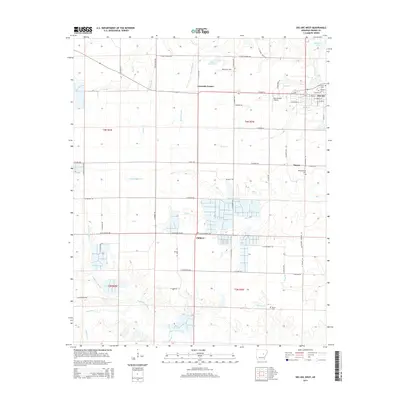
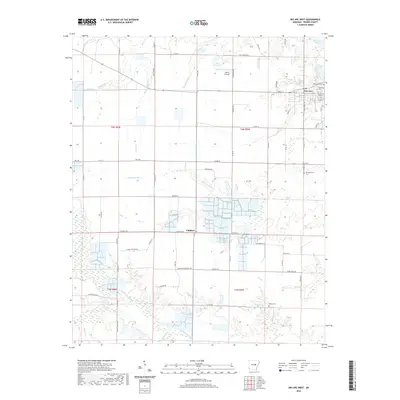
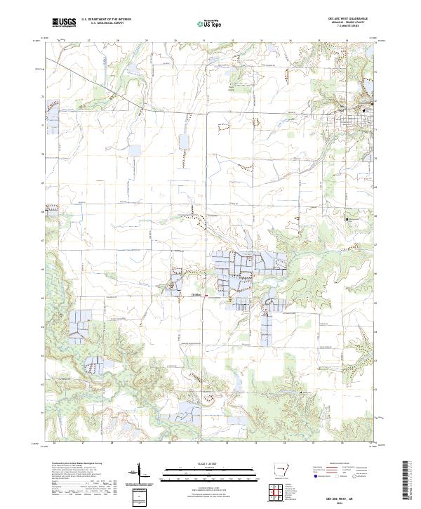
1964 Des Arc West
Prairie County, AR
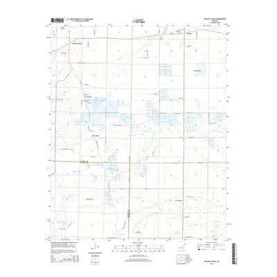
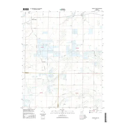
1964 Hickory Plains
Prairie County, AR
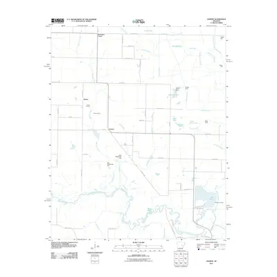
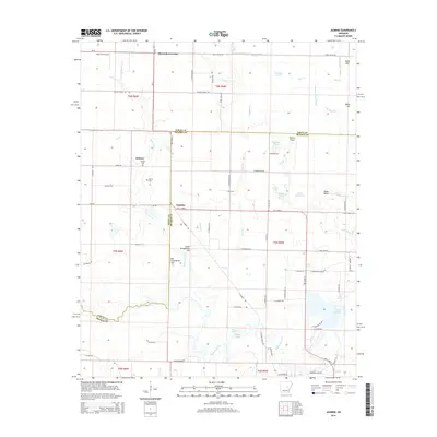
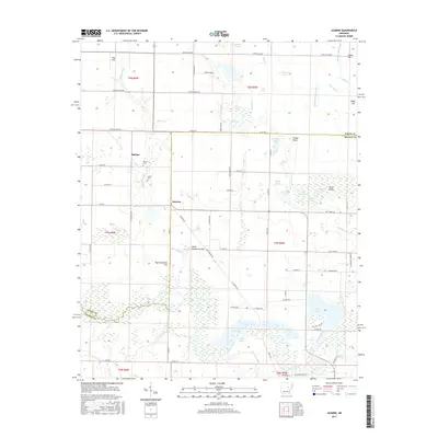
1964 Jasmine
Prairie County, AR
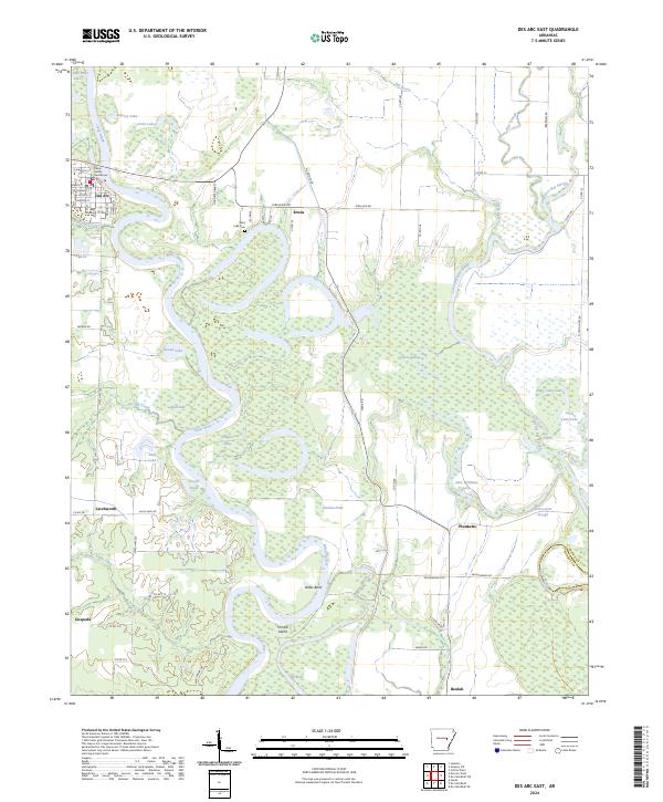
1968 Des Arc East
Prairie County, AR
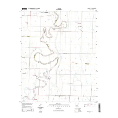
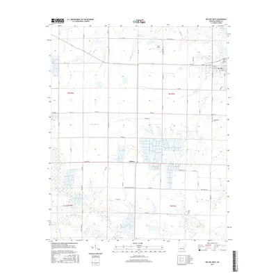
1968 Gregory SW
Prairie County, AR
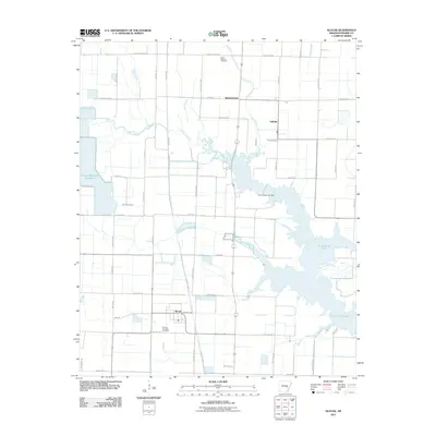
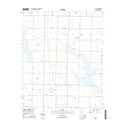
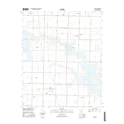
1969 Slovak
Prairie County, AR
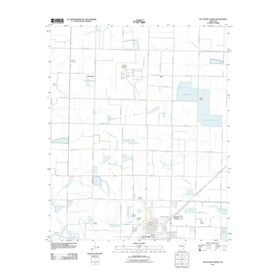
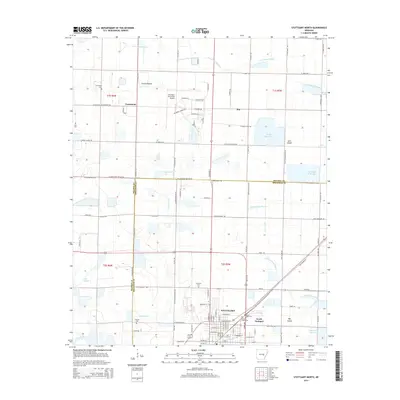
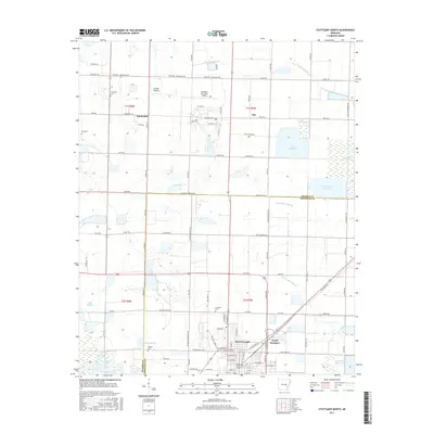
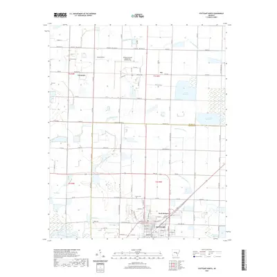
1969 Stuttgart North
Prairie County, AR
1994 Des Arc West
Prairie County, AR
1994 Hickory Plains
Prairie County, AR
1994 Jasmine
Prairie County, AR
1994 Slovak
Prairie County, AR
2011 Des Arc East
Prairie County, AR
2011 Des Arc West
Prairie County, AR
2011 Gregory SW
Prairie County, AR
2011 Hickory Plains
Prairie County, AR
2011 Jasmine
Prairie County, AR
2011 Slovak
Prairie County, AR
2011 Stuttgart North
Prairie County, AR
2014 Des Arc East
Prairie County, AR
2014 Des Arc West
Prairie County, AR
2014 Gregory SW
Prairie County, AR
2014 Hickory Plains
Prairie County, AR
2014 Jasmine
Prairie County, AR
2014 Slovak
Prairie County, AR
2014 Stuttgart North
Prairie County, AR
2017 Des Arc East
Prairie County, AR
2017 Des Arc West
Prairie County, AR
2017 Gregory SW
Prairie County, AR
2017 Hickory Plains
Prairie County, AR
2017 Jasmine
Prairie County, AR
2017 Slovak
Prairie County, AR
2017 Stuttgart North
Prairie County, AR
2020 Des Arc East
Prairie County, AR
2020 Des Arc West
Prairie County, AR
2020 Gregory SW
Prairie County, AR
2020 Hickory Plains
Prairie County, AR
2020 Jasmine
Prairie County, AR
2020 Slovak
Prairie County, AR
2020 Stuttgart North
Prairie County, AR
2024 Des Arc East
Prairie County, AR
2024 Des Arc West
Prairie County, AR
2024 Gregory SW
Prairie County, AR
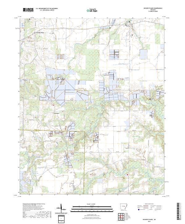
2024 Hickory Plains
Prairie County, AR
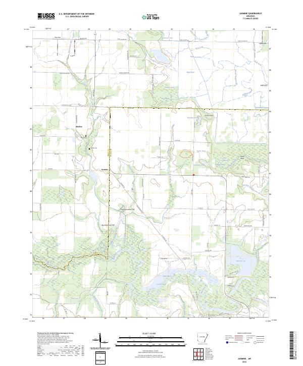
2024 Jasmine
Prairie County, AR
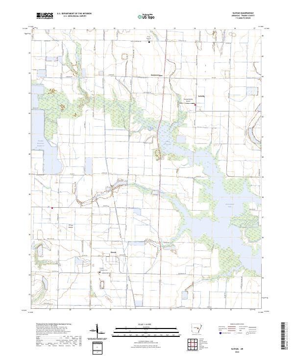
2024 Slovak
Prairie County, AR
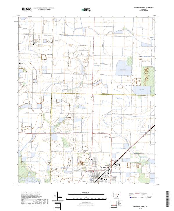
2024 Stuttgart North
Prairie County, AR