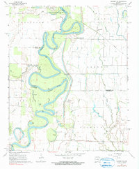
1968 Map of Gregory SW
USGS Topo · Published 1990About this map
The White River meanders through the bottomlands of White and Prairie Counties, defining a landscape of intricate oxbows and swampy depressions in the late 1960s. High ground is found only at distinctive landmarks like Peach Orchard Bluff and Smokehouse Bluff, which provide relief above the frequent floodwaters. The tiny riverside settlement of Georgetown serves as a northern gateway to the Hurricane Lake State Game Area, while further east, McClelland sits along an old railroad grade. This survey preserves a detailed view of the water-dependent geography of the region, where a network of water bodies such as Choctaw Lake, Bear Slough, and Cache Bayou weave between the river's shifting main channel. Genealogists can locate Kings Cem near Goose Pond, while those interested in local engineering can find a Pumping Station and Flume facilitating drainage near the center of the sheet.
Find a feature on this map
41 named features on this map. Tap any name to fly to it.
Don’t see what you’re looking for? This feature index may not catch every label — zoom into the map to look around manually.
Map Details
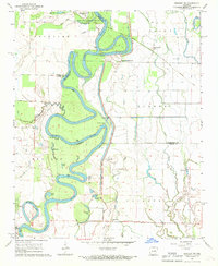
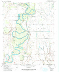
Editions of this 1968 Gregory SW Map
3 editions found
Other maps of this area

1932 · Kensett
USGS Topo · 1:62,500

1935 · Kensett
USGS Topo · 1:62,500

1935 · Hazen
USGS Topo · 1:62,500

1935 · Gregory
USGS Topo · 1:62,500

1941 · Hazen
USGS Topo · 1:62,500

1941 · De Valls Bluff
USGS Topo · 1:62,500

1948 · Helena
USGS Topo · 1:250,000

1950 · Helena
USGS Topo · 1:250,000

1953 · Memphis
USGS Topo · 1:250,000

1955 · Helena
USGS Topo · 1:250,000