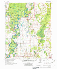
1972 Map of Gregory
USGS Topo · Published 1972About this map
Georgetown and the surrounding river bottomlands define this portion of the White River valley during the early 1970s. The landscape is a complex network of oxbows and sloughs, including Big Hurricane Lake and Wolf Lake, reflecting a region dominated by the shifting hydrology of the White River. The presence of the Hurricane Lake State Game Area across the Woodruff and White county lines suggests a focus on wildlife conservation and flood control management during this era. Rural communities such as Gregory, McClelland, and Dixie are connected by a grid of unimproved and light-duty roads, while the Little Rock & Memphis Railroad cuts through the southern reaches near Cotton Plant. Genealogists will find numerous family-centric landmarks and spiritual centers, including Bethlehem Ch and the Ebenezer Cem near the Prairie County border.
Find a feature on this map
95 named features on this map. Tap any name to fly to it.
Don’t see what you’re looking for? This feature index may not catch every label — zoom into the map to look around manually.
Map Details
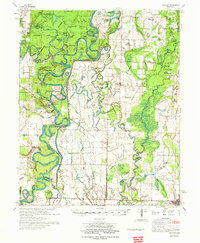
Editions of this 1972 Gregory Map
2 editions found
Other maps of this area

1932 · Kensett
USGS Topo · 1:62,500

1935 · Kensett
USGS Topo · 1:62,500

1935 · Hazen
USGS Topo · 1:62,500

1935 · Augusta
USGS Topo · 1:62,500

1935 · Gregory
USGS Topo · 1:62,500

1935 · Bald Knob
USGS Topo · 1:62,500

1939 · Hunter
USGS Topo · 1:62,500

1940 · Brinkley
USGS Topo · 1:62,500

1940 · Tilton
USGS Topo · 1:62,500

1941 · Hazen
USGS Topo · 1:62,500