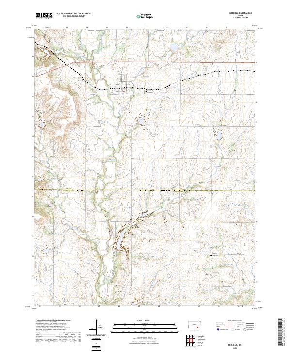
2023 Map of Grenola
USGS Topo · Published 2023About this map
Grenola stands as the central hub of this Kansas landscape, where the town grid is defined by streets like N Main St and Maple St. The surrounding terrain is deeply carved by a network of waterways, most notably the Caney River and its tributary, the East Fork Caney River. To the north, Schrader Branch and Corum Creek flow through the hills, while Wolf Creek dominates the eastern and southern reaches.
Find a feature on this map
45 named features on this map. Tap any name to fly to it.
Don’t see what you’re looking for? This feature index may not catch every label — zoom into the map to look around manually.
Map Details
Editions of this 2023 Grenola Map
This is the sole edition of this map. No revisions or reprints were ever made.
Other maps of this area

1885 · Sedan
USGS Topo · 1:125,000

1889 · Burden
USGS Topo · 1:125,000

1889 · Sedan
USGS Topo · 1:125,000

1955 · Wichita
USGS Topo · 1:250,000

1958 · Wichita
USGS Topo · 1:250,000

1962 · Moline
USGS Topo · 1:24,000

1962 · Grand Summit
USGS Topo · 1:24,000

1962 · Elgin NE
USGS Topo · 1:24,000
1962 · Cloverdale
USGS Topo · 1:24,000
1962 · Dexter NE
USGS Topo · 1:24,000