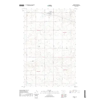
2017 Map of Grenora
USGS Topo · Published 2017About this map
Grenora sits at the northern edge of this survey, organized around a grid that includes Railroad Ave and 5th Ave. This agricultural landscape in Williams County is defined by its precise section lines and a network of county roads like Co Hwy 5 and Co Hwy 12. The terrain is marked by distinctive elevation features such as Sowers Bluff and Barr Butte, while the drainage of Willow Creek cuts through the southwestern corner. Aviation history is noted at Peterson Airport, located centrally between the northern townsite and the rising bluffs to the south. The map reflects the organized settlement patterns of the High Plains, where rural infrastructure connects small-scale airfields and town centers to the surrounding wheat and cattle country.
Find a feature on this map
30 named features on this map. Tap any name to fly to it.
Don’t see what you’re looking for? This feature index may not catch every label — zoom into the map to look around manually.
Map Details
Editions of this 2017 Grenora Map
This is the sole edition of this map. No revisions or reprints were ever made.
Other maps of this area
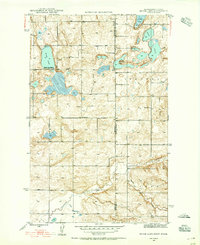
1946 · Brush Lake
USGS Topo · 1:24,000
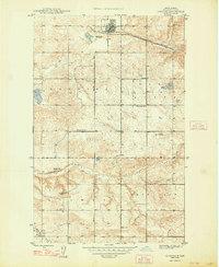
1948 · Grenora
USGS Topo · 1:24,000
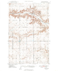
1948 · Hanks
USGS Topo · 1:24,000
1948 · Brush Lake
USGS Topo · 1:24,000
1953 · Williston
USGS Topo · 1:250,000
1954 · Wolf Point
USGS Topo · 1:250,000
1957 · Williston
USGS Topo · 1:250,000
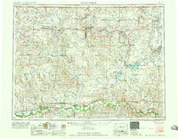
1958 · Wolf Point
USGS Topo · 1:250,000
1974 · Bonetraill
USGS Topo · 1:24,000
1974 · Brush Mountain
USGS Topo · 1:24,000