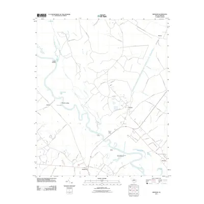
2011 Map of Gresham
USGS Topo · Published 2011About this map
Great Pee Dee River meanders through this portion of the coastal plain, defining a landscape of wetlands and riverside access points. The river's significance to local history is evident in the numerous named landings, including Catfish Landing, Stone Landing, and Savage Landing, which historically served as vital transportation nodes for agricultural transport. In the southern reach of the survey, the Godfrey Ferry Bridge spans the water near Davis Landing, connecting the rural communities of Kingsburg and Gresham.
Find a feature on this map
85 named features on this map. Tap any name to fly to it.
Don’t see what you’re looking for? This feature index may not catch every label — zoom into the map to look around manually.
Map Details
Editions of this 2011 Gresham Map
This is the sole edition of this map. No revisions or reprints were ever made.
Other maps of this area

1940 · Florence East
USGS Topo · 1:62,500

1945 · Florence East
USGS Topo · 1:62,500

1946 · Hyman
USGS Topo · 1:62,500

1946 · Johnsonville
USGS Topo · 1:62,500

1947 · Friendship
USGS Topo · 1:24,000

1947 · Centenary
USGS Topo · 1:24,000

1949 · Georgetown
USGS Topo · 1:250,000

1953 · Florence
USGS Topo · 1:250,000

1954 · Florence
USGS Topo · 1:250,000

1967 · Georgetown
USGS Topo · 1:250,000