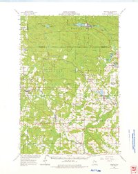
1964 Map of Gresham
USGS Topo · Published 1975About this map
The Menominee Indian Reservation Boundary defines the northern reaches of this landscape, where the Wolf River flows over Peavey Falls and Rainbow Falls. This mid-century survey captures a complex network of rural infrastructure, with small villages like Gresham and Neopit connected by the Chicago and North Western Railroad. Cultural landmarks are densely plotted across the townships of Bartelme and Red Springs, including the St Anthonys Cem and Red Springs Cem.
Find a feature on this map
71 named features on this map. Tap any name to fly to it.
Don’t see what you’re looking for? This feature index may not catch every label — zoom into the map to look around manually.
Map Details
Editions of this 1964 Gresham Map
This is the sole edition of this map. No revisions or reprints were ever made.
Other maps of this area
1952 · Antigo
USGS Topo · 1:48,000
1952 · White Lake
USGS Topo · 1:48,000
1952 · Langlade
USGS Topo · 1:48,000
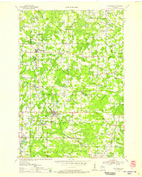
1954 · Wittenberg
USGS Topo · 1:48,000
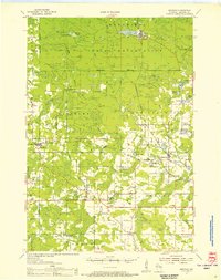
1954 · Gresham
USGS Topo · 1:48,000
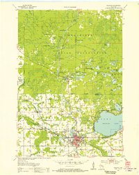
1954 · Shawano
USGS Topo · 1:48,000

1954 · Iron Mountain
USGS Topo · 1:250,000
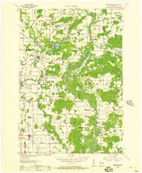
1955 · Embarrass
USGS Topo · 1:48,000
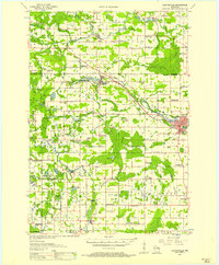
1955 · Clintonville
USGS Topo · 1:48,000
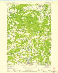
1955 · Tigerton
USGS Topo · 1:48,000