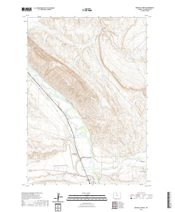
2021 Map of Greybull North
USGS Topo · Published 2021About this map
Bighorn River flows northward through the heart of this landscape, carving a wide valley flanked by the prominent heights of Sheep Mountain to the west and the distinctive formation of Steamship Rock to the north. The southern edge of the sheet centers on the settlement of Greybull, where the river meets Shell Creek and Dry Cr. This area is defined by the intersection of natural watercourses and human irrigation efforts, notably the Agrarian Ditch which feeds the agricultural lands west of the main channel. The presence of the South Big Horn County Airport and the engineered Garnett Reservoir highlights the modern infrastructure supporting this Big Horn Basin community. To the east, the terrain rises into complex drainage systems like Frenchy Draw and Porter Draw, illustrating the arid, dissected topography characteristic of the region.
Find a feature on this map
31 named features on this map. Tap any name to fly to it.
Don’t see what you’re looking for? This feature index may not catch every label — zoom into the map to look around manually.
Map Details
Editions of this 2021 Greybull North Map
This is the sole edition of this map. No revisions or reprints were ever made.
Other maps of this area

1898 · Bald Mountain
USGS Topo · 1:125,000

1901 · Bald Mountain
USGS Topo · 1:125,000

1955 · Cody
USGS Topo · 1:250,000

1955 · Sheridan
USGS Topo · 1:250,000

1958 · Cody
USGS Topo · 1:250,000

1958 · Sheridan
USGS Topo · 1:250,000

1960 · Devils Kitchen
USGS Topo · 1:24,000

1960 · Bear Creek Ranch
USGS Topo · 1:24,000

1960 · Wild Horse Flats
USGS Topo · 1:24,000

1962 · Sheridan
USGS Topo · 1:250,000