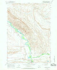
1966 Map of Greybull North
USGS Topo · Published 1969About this map
The confluence of Shell Creek and the Bighorn River anchors the southern portion of this mid-1960s survey, where the town of Greybull serves as a regional hub for transportation and agriculture. The Chicago Burlington and Quincy railroad tracks parallel the river, supporting local industry alongside features like the Agrarian Ditch and various gravel pits. To the north, the terrain rises sharply into the distinctive landform of Sheep Mountain and the prominent Steamship Rock. This era of the landscape is marked by a blend of traditional ranching and modern infrastructure, evidenced by the South Big Horn County Airport and active Strip Mines appearing on the eastern slopes. The map also captures local community landmarks such as the Rodeo Ground near the riverbanks.
Find a feature on this map
23 named features on this map. Tap any name to fly to it.
Don’t see what you’re looking for? This feature index may not catch every label — zoom into the map to look around manually.
Map Details
Editions of this 1966 Greybull North Map
2 editions found
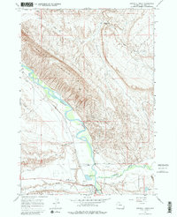
Other maps of this area

1898 · Bald Mountain
USGS Topo · 1:125,000

1901 · Bald Mountain
USGS Topo · 1:125,000

1955 · Cody
USGS Topo · 1:250,000

1955 · Sheridan
USGS Topo · 1:250,000

1958 · Cody
USGS Topo · 1:250,000

1958 · Sheridan
USGS Topo · 1:250,000

1960 · Devils Kitchen
USGS Topo · 1:24,000

1960 · Bear Creek Ranch
USGS Topo · 1:24,000

1960 · Wild Horse Flats
USGS Topo · 1:24,000

1962 · Sheridan
USGS Topo · 1:250,000