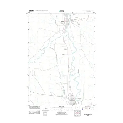
2012 Map of Greybull South
USGS Topo · Published 2012About this map
The Bighorn River and its confluence with the Greybull River anchor this landscape between the towns of Greybull and Basin. In this arid region, the network of human-made waterways is the defining characteristic of the terrain, visible in the extensive reaches of the Big Horn Canal, Shell Canal, and Tilard Canal. These irrigation systems, alongside the Big Horn Canal Trl, illustrate the vital role of water management in supporting the agricultural settlements of the Bighorn Basin.
Find a feature on this map
58 named features on this map. Tap any name to fly to it.
Don’t see what you’re looking for? This feature index may not catch every label — zoom into the map to look around manually.
Map Details
Editions of this 2012 Greybull South Map
This is the sole edition of this map. No revisions or reprints were ever made.
Other maps of this area

1898 · Bald Mountain
USGS Topo · 1:125,000

1901 · Bald Mountain
USGS Topo · 1:125,000

1955 · Cody
USGS Topo · 1:250,000

1955 · Sheridan
USGS Topo · 1:250,000

1958 · Cody
USGS Topo · 1:250,000

1958 · Sheridan
USGS Topo · 1:250,000

1960 · Manderson
USGS Topo · 1:24,000

1960 · Devils Kitchen
USGS Topo · 1:24,000

1960 · Wild Horse Flats
USGS Topo · 1:24,000

1962 · Sheridan
USGS Topo · 1:250,000