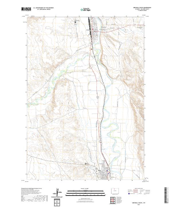
2021 Map of Greybull South
USGS Topo · Published 2021About this map
The Bighorn River corridor serves as the central artery for this portion of Big Horn County, anchoring the settlements of Greybull and Basin. As the county seat, Basin is home to the Big Horn County Courthouse, while Greybull to the north serves as a key junction for the Bnsf Railway. The landscape is defined by an extensive network of irrigation infrastructure essential to Wyoming's high plains agriculture, including the Shell Canal, Big Horn Canal, and the Tilard Canal.
Find a feature on this map
63 named features on this map. Tap any name to fly to it.
Don’t see what you’re looking for? This feature index may not catch every label — zoom into the map to look around manually.
Map Details
Editions of this 2021 Greybull South Map
This is the sole edition of this map. No revisions or reprints were ever made.
Other maps of this area

1898 · Bald Mountain
USGS Topo · 1:125,000

1901 · Bald Mountain
USGS Topo · 1:125,000

1955 · Cody
USGS Topo · 1:250,000

1955 · Sheridan
USGS Topo · 1:250,000

1958 · Cody
USGS Topo · 1:250,000

1958 · Sheridan
USGS Topo · 1:250,000

1960 · Manderson
USGS Topo · 1:24,000

1960 · Devils Kitchen
USGS Topo · 1:24,000

1960 · Wild Horse Flats
USGS Topo · 1:24,000

1962 · Sheridan
USGS Topo · 1:250,000