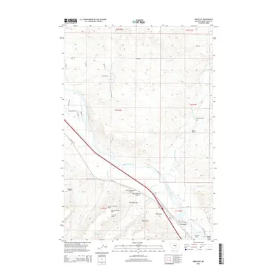
2014 Map of Greycliff
USGS Topo · Published 2014About this map
The Yellowstone River cuts a wide path through this Sweet Grass County landscape, shaping the development and transportation corridors near Greycliff. This 2014 survey captures a terrain defined by significant drainage systems, including Sweet Grass Creek and the bifurcated paths of Upper Deer Cr and Lower Deer Cr. The convergence of these watercourses created a natural passage for historical infrastructure, seen here in the alignment of Old US-10 and the local landmark Greycliff Bridge.
Find a feature on this map
41 named features on this map. Tap any name to fly to it.
Don’t see what you’re looking for? This feature index may not catch every label — zoom into the map to look around manually.
Map Details
Editions of this 2014 Greycliff Map
This is the sole edition of this map. No revisions or reprints were ever made.
Other maps of this area
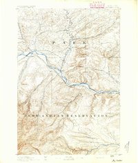
1891 · Big Timber
USGS Topo · 1:125,000
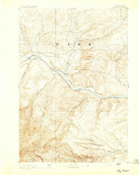
1893 · Big Timber
USGS Topo · 1:125,000
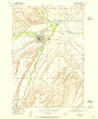
1954 · Big Timber
USGS Topo · 1:24,000
1954 · Ross Canyon
USGS Topo · 1:24,000
1954 · Otter Creek School
USGS Topo · 1:24,000
1954 · Ryan Creek
USGS Topo · 1:24,000
1954 · Billings
USGS Topo · 1:250,000
1955 · Packsaddle Butte
USGS Topo · 1:24,000
1955 · Greycliff
USGS Topo · 1:24,000
1956 · Work Creek
USGS Topo · 1:24,000