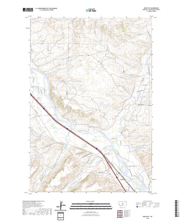
2024 Map of Greycliff
USGS Topo · Published 2024About this map
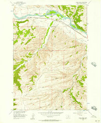
The Yellowstone River cuts diagonally across this landscape near the settlement of Greycliff, where a complex network of irrigation ditches and gulches defines the valley floor. Names like Pioneer Ditch, Mallard Ditch, and Hawks Ditch suggest a long history of water management supporting the agricultural tracts along the riverbank. Further inland, the terrain is marked by family-named landmarks and historical traces such as Old Schoolhouse Gulch and New Schoolhouse Gulch, which point to the evolution of local rural infrastructure.
Find a feature on this map
54 named features on this map. Tap any name to fly to it.
Don’t see what you’re looking for? This feature index may not catch every label — zoom into the map to look around manually.
Map Details
Editions of this 2024 Greycliff Map
This is the sole edition of this map. No revisions or reprints were ever made.
Other maps of this area

1891 · Big Timber
USGS Topo · 1:125,000

1893 · Big Timber
USGS Topo · 1:125,000

1954 · Big Timber
USGS Topo · 1:24,000
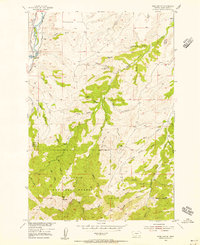
1954 · Ross Canyon
USGS Topo · 1:24,000
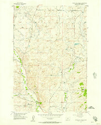
1954 · Otter Creek School
USGS Topo · 1:24,000
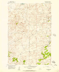
1954 · Ryan Creek
USGS Topo · 1:24,000

1954 · Billings
USGS Topo · 1:250,000

1955 · Packsaddle Butte
USGS Topo · 1:24,000

1955 · Greycliff
USGS Topo · 1:24,000
1956 · Work Creek
USGS Topo · 1:24,000