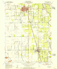
1952 Map of Gridley
USGS Topo · Published 1953About this map
The agricultural heart of the Sacramento Valley is captured here during the early 1950s, centered on the growing community of Gridley and the northern reaches of Live Oak. The landscape is a network of irrigation and industry, dominated by the Southern Pacific railroad line and the winding Feather River. Local civic life is well-documented through numerous rural school sites such as McKinley School, Woodrow Wilson School, and the Manzanita Sch.
Find a feature on this map
87 named features on this map. Tap any name to fly to it.
Don’t see what you’re looking for? This feature index may not catch every label — zoom into the map to look around manually.
Map Details
Editions of this 1952 Gridley Map
4 editions found
Other maps of this area

1888 · Marysville
USGS Topo · 1:125,000

1891 · Marysville
USGS Topo · 1:125,000

1894 · Marysville
USGS Topo · 1:125,000

1895 · Marysville
USGS Topo · 1:125,000

1911 · Sutter
USGS Topo · 1:31,680
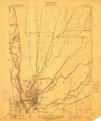
1911 · Yuba City
USGS Topo · 1:31,680

1911 · Landlow
USGS Topo · 1:31,680

1912 · Marysville Buttes
USGS Topo · 1:31,680

1912 · Pennington
USGS Topo · 1:31,680
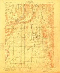
1912 · Palermo
USGS Topo · 1:31,680