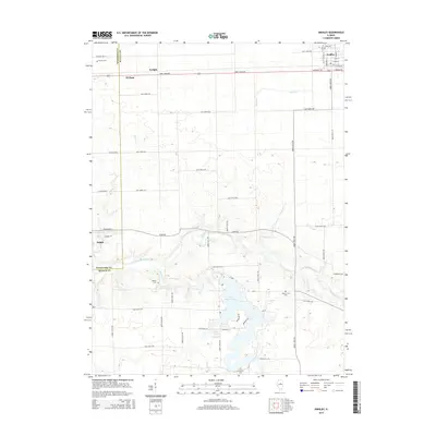
2015 Map of Gridley
USGS Topo · Published 2015About this map
Lake Bloomington dominates the southern reaches of this landscape, its irregular shoreline creating a complex of inlets and points fed by Money Creek. The surrounding terrain transitions from the high-order drainage basins of the Mackinaw River and its tributaries, including Wolf Cr and Loving Br, to the productive agricultural lands of the Illinois prairie. The settlement pattern is defined by the proximity of Gridley and El Paso at the northern margin, connected by the straight-line corridor of East 3100 N Road.
Find a feature on this map
43 named features on this map. Tap any name to fly to it.
Don’t see what you’re looking for? This feature index may not catch every label — zoom into the map to look around manually.
Map Details
Editions of this 2015 Gridley Map
This is the sole edition of this map. No revisions or reprints were ever made.
Other maps of this area
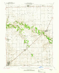
1926 · Normal
USGS Topo · 1:62,500
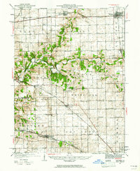
1927 · Danvers
USGS Topo · 1:62,500
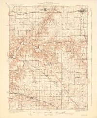
1930 · Danvers
USGS Topo · 1:62,500
1930 · Normal
USGS Topo · 1:62,500
1955 · Minonk
USGS Topo · 1:62,500
1958 · Flanagan
USGS Topo · 1:62,500
1958 · Peoria
USGS Topo · 1:250,000
1961 · Peoria
USGS Topo · 1:250,000
1963 · Peoria
USGS Topo · 1:250,000
1970 · El Paso
USGS Topo · 1:24,000