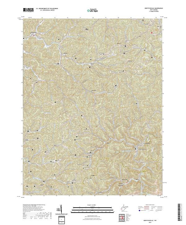
2023 Map of Griffithsville
USGS Topo · Published 2023About this map
Griffithsville and the surrounding hollows of Lincoln County are defined by a complex network of ridgeline roads and valley floor settlements. The Mud River and its numerous tributaries, including Straight Fork and the Left Fork Mud River, create a deeply dissected landscape where family legacies are preserved in dozens of small burial grounds. Genealogists can trace local history through sites like Black Cem, Midkiff Cem, and the more contemporary Orchard Hill Memorial Gardens.
Find a feature on this map
124 named features on this map. Tap any name to fly to it.
Don’t see what you’re looking for? This feature index may not catch every label — zoom into the map to look around manually.
Map Details
Editions of this 2023 Griffithsville Map
This is the sole edition of this map. No revisions or reprints were ever made.
Other maps of this area

1892 · Huntington
USGS Topo · 1:125,000

1898 · Huntington
USGS Topo · 1:125,000

1899 · Charleston
USGS Topo · 1:125,000

1902 · Milton
USGS Topo · 1:62,500

1902 · Midkiff
USGS Topo · 1:62,500

1907 · Midkiff
USGS Topo · 1:62,500

1909 · Midkiff
USGS Topo · 1:62,500

1909 · Saint Albans
USGS Topo · 1:62,500

1911 · Madison
USGS Topo · 1:62,500

1929 · Madison
USGS Topo · 1:62,500