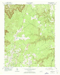
1954 Map of Grimsley
USGS Topo · Published 1973About this map
The Alvin C York Highway serves as the central artery for this mid-century rural landscape, connecting the small communities of Grimsley and Banner Springs. Settlement patterns are distinctly tied to the high ground above the dissected drainage basins of Clear Creek and its many prongs. Family-named sites like Westmoreland and the Tench Sch reflect the long-standing community roots of the Fentress County and Morgan County borderlands.
Find a feature on this map
45 named features on this map. Tap any name to fly to it.
Don’t see what you’re looking for? This feature index may not catch every label — zoom into the map to look around manually.
Map Details
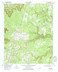
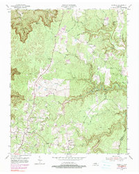
Editions of this 1954 Grimsley Map
4 editions found

Other maps of this area

1895 · Wartburg
USGS Topo · 1:125,000

1896 · Wartburg
USGS Topo · 1:125,000

1897 · Standingstone
USGS Topo · 1:125,000

1898 · Standingstone
USGS Topo · 1:125,000

1935 · Clarkrange
USGS Topo · 1:24,000

1936 · Twin Bridges
USGS Topo · 1:24,000

1936 · Jones Knob
USGS Topo · 1:24,000

1943 · Twin Bridges
USGS Topo · 1:24,000
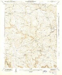
1945 · Twin Bridges
USGS Topo · 1:24,000

1946 · Clarkrange
USGS Topo · 1:24,000