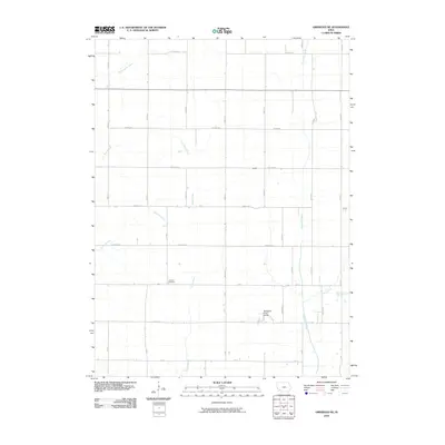
2010 Map of Griswold NE
USGS Topo · Published 2010About this map
Lowman Cemetery serves as a quiet landmark in this corner of Cass County, situated near the headwaters of the Tarkio River. The landscape is defined by its agricultural grid, where the small settlement of McDill sits at the intersection of Victoria Rd and 600th St. This 2010 survey illustrates the organized rural infrastructure typical of the Iowa plains, with a dense network of numbered roads such as 100 St and named routes like Yankton Rd providing access to the fertile fields. Drainage is provided by a series of winding watercourses, including Sevenmile Creek to the east and Baughmans Creek in the northwest. The crossing at Nodaway River Bridge stands out as a key navigational point, anchoring the local transport network in an area where small creeks like Clarks Branch and Rose Creek define the local topography.
Find a feature on this map
36 named features on this map. Tap any name to fly to it.
Don’t see what you’re looking for? This feature index may not catch every label — zoom into the map to look around manually.
Map Details
Editions of this 2010 Griswold NE Map
This is the sole edition of this map. No revisions or reprints were ever made.
Other maps of this area

1954 · Omaha
USGS Topo · 1:250,000

1957 · Omaha
USGS Topo · 1:250,000

1958 · Omaha
USGS Topo · 1:250,000

1971 · Atlantic SW
USGS Topo · 1:24,000

1971 · Anita SW
USGS Topo · 1:24,000

1971 · Lewis
USGS Topo · 1:24,000

1978 · Griswold
USGS Topo · 1:24,000

1978 · Wallin
USGS Topo · 1:24,000

1978 · Griswold NE
USGS Topo · 1:24,000

1978 · Red Oak North
USGS Topo · 1:24,000