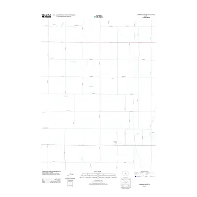
2013 Map of Griswold NE
USGS Topo · Published 2013About this map
The Tarkio River and its numerous tributaries define this agricultural landscape in Cass County, tracing a complex network of waterways through the Iowa countryside. Small seasonal streams and branches such as Baughmans Cr, Lone Tree Br, and Clarks Br cross the terrain, illustrating the natural drainage patterns that have shaped local farming for generations. The settlement of McDill serves as a central point of reference within a strictly gridded system of section roads, including Yankton Rd and Victoria Rd. To the southeast, the Nodaway River Bridge facilitates travel across Sevenmile Cr, which flows near Rose Cr. This 2013 survey provides a clear view of the modern rural infrastructure, where named county roads like Youngstown Rd and Wichita Rd maintain the traditional township boundaries.
Find a feature on this map
39 named features on this map. Tap any name to fly to it.
Don’t see what you’re looking for? This feature index may not catch every label — zoom into the map to look around manually.
Map Details
Editions of this 2013 Griswold NE Map
This is the sole edition of this map. No revisions or reprints were ever made.
Other maps of this area

1954 · Omaha
USGS Topo · 1:250,000

1957 · Omaha
USGS Topo · 1:250,000

1958 · Omaha
USGS Topo · 1:250,000

1971 · Atlantic SW
USGS Topo · 1:24,000

1971 · Anita SW
USGS Topo · 1:24,000

1971 · Lewis
USGS Topo · 1:24,000

1978 · Griswold
USGS Topo · 1:24,000

1978 · Wallin
USGS Topo · 1:24,000

1978 · Griswold NE
USGS Topo · 1:24,000

1978 · Red Oak North
USGS Topo · 1:24,000