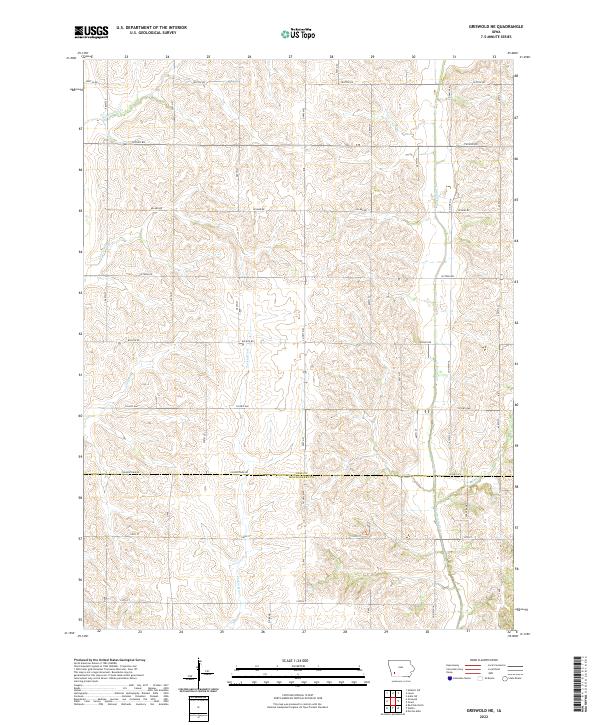
2022 Map of Griswold NE
USGS Topo · Published 2022About this map
The Tarkio River and Sevenmile Creek shape this section of the Iowa countryside, cutting through the undulating landscape where Cass Co meets Montgomery Co. This rural expanse is organized by a strict grid of section lines and local roads, including Seattle Rd, Upland RD, and Victoria Rd, which serve the dispersed farmsteads characteristic of the region.
Find a feature on this map
24 named features on this map. Tap any name to fly to it.
Don’t see what you’re looking for? This feature index may not catch every label — zoom into the map to look around manually.
Map Details
Editions of this 2022 Griswold NE Map
This is the sole edition of this map. No revisions or reprints were ever made.
Other maps of this area

1954 · Omaha
USGS Topo · 1:250,000

1957 · Omaha
USGS Topo · 1:250,000

1958 · Omaha
USGS Topo · 1:250,000

1971 · Atlantic SW
USGS Topo · 1:24,000

1971 · Anita SW
USGS Topo · 1:24,000

1971 · Lewis
USGS Topo · 1:24,000

1978 · Griswold
USGS Topo · 1:24,000

1978 · Wallin
USGS Topo · 1:24,000

1978 · Griswold NE
USGS Topo · 1:24,000

1978 · Red Oak North
USGS Topo · 1:24,000