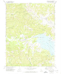
1972 Map of Grizzly Valley
USGS Topo · Published 1974About this map
Plumas National Forest envelopes the high-altitude landscape of this 1972 survey, centered on the expanse of Lake Davis. The map details a transition in the land's utility, showing former human occupation at the Midway House (Site) and Gate Place (Site) alongside the modern recreational infrastructure of a Boat Ramp and Lightning Tree Point. To the south, the State Game Refuge 1-V occupies the slopes of Grizzly Ridge, while the northern portion of the sheet is dominated by Red Clover Valley and its network of creek-fed meadows. This era shows a focus on resource management and preservation, with family-named features like Don Blough Creek and small-scale operations such as a Prospect providing evidence of earlier localized activity in the Sierra Nevada range.
Find a feature on this map
32 named features on this map. Tap any name to fly to it.
Don’t see what you’re looking for? This feature index may not catch every label — zoom into the map to look around manually.
Map Details
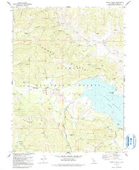
Editions of this 1972 Grizzly Valley Map
2 editions found
Other maps of this area

1886 · Honey Lake
USGS Topo · 1:250,000

1890 · Sierraville
USGS Topo · 1:125,000

1891 · Downieville
USGS Topo · 1:125,000

1891 · Honey Lake
USGS Topo · 1:250,000

1892 · Sierraville
USGS Topo · 1:125,000

1893 · Honey Lake
USGS Topo · 1:250,000

1893 · Downieville
USGS Topo · 1:125,000

1894 · Sierraville
USGS Topo · 1:125,000

1895 · Downieville
USGS Topo · 1:125,000

1896 · Downieville
USGS Topo · 1:125,000