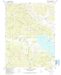
1972 Map of Grizzly Valley
USGS Topo · Published 1991About this map
Lake Davis dominates the eastern half of this terrain, a reservoir with an elevation of 5775 feet that reshaped the local topography. Bordered by the Plumas National Forest, the map records specific historical locations such as the Midway House (Site) and Gate Place (Site) in Grizzly Valley, providing precise markers for local historians and genealogists tracking early Sierra Nevada activity.
Find a feature on this map
38 named features on this map. Tap any name to fly to it.
Don’t see what you’re looking for? This feature index may not catch every label — zoom into the map to look around manually.
Map Details
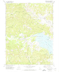
Editions of this 1972 Grizzly Valley Map
2 editions found
Other maps of this area

1886 · Honey Lake
USGS Topo · 1:250,000

1890 · Sierraville
USGS Topo · 1:125,000

1891 · Downieville
USGS Topo · 1:125,000

1891 · Honey Lake
USGS Topo · 1:250,000

1892 · Sierraville
USGS Topo · 1:125,000

1893 · Honey Lake
USGS Topo · 1:250,000

1893 · Downieville
USGS Topo · 1:125,000

1894 · Sierraville
USGS Topo · 1:125,000

1895 · Downieville
USGS Topo · 1:125,000

1896 · Downieville
USGS Topo · 1:125,000